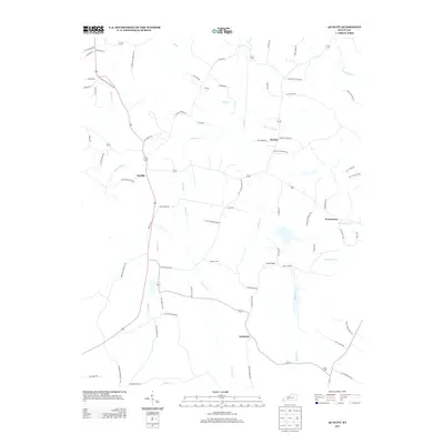
2013 Map of Quality
USGS Topo · Published 2013About this map
Quality and Boston anchor this rural landscape in Butler County, where the terrain is defined by the winding paths of Muddy Cr and Dallam Cr. This 2013 survey preserves the locations of local landmarks and historical infrastructure, including several road names that point to vanished institutions. Genealogists will find particular value in the placement of Duncan Cem and Smith Cem, as well as the family-named corridors such as Womack Cemetery Rd and John Givens Rd. The map also traces the community of Turnertown and the smaller settlement at Anderson, showing a rural layout where small creeks like Boston Lick Cr and Grassy Lick Cr have historically shaped the placement of farmsteads and property lines.
Find a feature on this map
73 named features on this map. Tap any name to fly to it.
Don’t see what you’re looking for? This feature index may not catch every label — zoom into the map to look around manually.
Map Details
Editions of this 2013 Quality Map
This is the sole edition of this map. No revisions or reprints were ever made.
Other maps of this area

1911 · Dunmor
USGS Topo · 1:48,000

1914 · Little Muddy
USGS Topo · 1:62,500

1914 · Dunmor
USGS Topo · 1:62,500

1951 · Lewisburg
USGS Topo · 1:24,000

1951 · South Union
USGS Topo · 1:24,000

1951 · Homer
USGS Topo · 1:24,000

1953 · Dunmor
USGS Topo · 1:24,000

1953 · South Hill
USGS Topo · 1:24,000

1953 · Quality
USGS Topo · 1:24,000

1953 · Rochester
USGS Topo · 1:24,000