1981 Map of Little Pine Creek
USGS Topo · Published 1981About this map
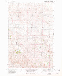
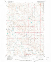
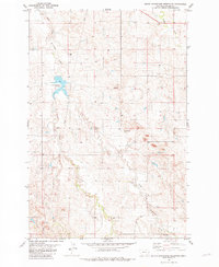
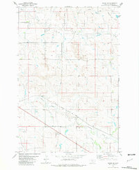
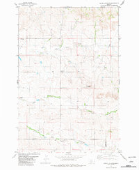
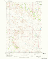
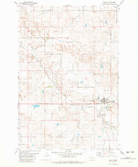
Little Pine Creek meanders through the high plains of Fallon County, defining a landscape of intermittent watercourses and isolated landmarks in the early 1980s. This survey, based on 1974 aerial photography, shows a sparsely populated ranching or grazing environment where water is the primary geographic anchor. The presence of a named Spring and multiple well sites suggests the vital importance of groundwater management in this semi-arid region of eastern Montana. In the northern reaches of the quadrangle, Hay Creek flows eastward, while the terrain is marked by a notable Radio Tower in the northeast, a rare vertical signifier in an otherwise vast expanse of rolling topography. The map detail highlights the intersection of Township 7 North and Township 6 North, providing a clear record of land divisions and rural infrastructure at a time when the region remained largely dedicated to agriculture and open-range utility.
Find a feature on this map
7 named features on this map. Tap any name to fly to it.
Don’t see what you’re looking for? This feature index may not catch every label — zoom into the map to look around manually.
Map Details
Editions of this 1981 Little Pine Creek Map
This is the sole edition of this map. No revisions or reprints were ever made.
Other maps of this area

1953 · Miles City
USGS Topo · 1:250,000

1957 · Miles City
USGS Topo · 1:250,000

1958 · Miles City
USGS Topo · 1:250,000
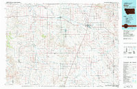
1981 · Baker
USGS Topo · 1:100,000
1981 · Harmon Butte
USGS Topo · 1:24,000
1981 · South Sandstone Reservoir
USGS Topo · 1:24,000
1981 · Baker NW
USGS Topo · 1:24,000
1981 · Seven-Up Butte
USGS Topo · 1:24,000
1981 · Sportsman Pond
USGS Topo · 1:24,000
1981 · Plevna
USGS Topo · 1:24,000