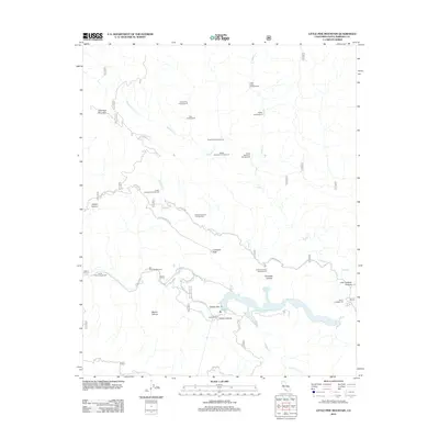
2012 Map of Little Pine Mountain
USGS Topo · Published 2012About this map
Gibraltar Reservoir and the Santa Ynez River anchor the southern reaches of this landscape, where the water system winds through the steep topography of Santa Barbara County. The terrain is defined by dramatic elevation changes, rising toward Little Pine Mountain and Camuesa Peak. Throughout the backcountry, a dense network of forest camps such as Hollow Tree Campground, Buck Campground, and Pegleg Campground provides access to remote drainages including Buckhorn Cr and Indian Cr. The map preserves the names of distinct meadows or grazing areas like Hidden Potrero and Matias Potrero, which reflect the region's ranching and pastoral history. Geological and infrastructural features like the North Portal near Devils Canyon highlight the engineering required to manage water resources in this complex environment.
Find a feature on this map
35 named features on this map. Tap any name to fly to it.
Don’t see what you’re looking for? This feature index may not catch every label — zoom into the map to look around manually.
Map Details
Editions of this 2012 Little Pine Mountain Map
This is the sole edition of this map. No revisions or reprints were ever made.
Other maps of this area

1902 · Santa Ynez
USGS Topo · 1:125,000

1905 · Santa Ynez
USGS Topo · 1:125,000

1941 · San Rafael Mtn.
USGS Topo · 1:62,500

1942 · Goleta
USGS Topo · 1:62,500

1942 · San Rafael Mtn.
USGS Topo · 1:62,500

1942 · Little Pine Mountain
USGS Topo · 1:24,000

1943 · Big Pine Mountain
USGS Topo · 1:31,680

1943 · San Rafael Mtn.
USGS Topo · 1:62,500

1943 · Hildreth Peak
USGS Topo · 1:24,000

1944 · Santa Barbara
USGS Topo · 1:31,680