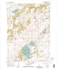
1960 Map of Little Prairie
USGS Topo · Published 1983About this map
Kettle Moraine State Forest dominates the topography of this region, where the glacial landscape of the Kettle Moraine creates a complex of ridges and depressions. The southeastern Wisconsin countryside is dotted with significant water bodies, including Blue Spring Lake in the north and the expansive Lauderdale Lakes system in the south, comprising Green Lake, Middle Lake, and Mill Lake. These waters are connected by landmarks like Deakin Island and Long Point, reflecting a landscape heavily defined by its post-glacial hydrology.
Find a feature on this map
37 named features on this map. Tap any name to fly to it.
Don’t see what you’re looking for? This feature index may not catch every label — zoom into the map to look around manually.
Map Details
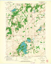
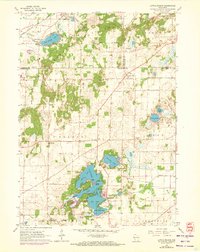
Editions of this 1960 Little Prairie Map
3 editions found
Other maps of this area

1892 · Whitewater
USGS Topo · 1:62,500

1892 · Eagle
USGS Topo · 1:62,500

1893 · Delavan
USGS Topo · 1:62,500

1893 · Whitewater
USGS Topo · 1:62,500

1893 · Geneva
USGS Topo · 1:62,500

1894 · Eagle
USGS Topo · 1:62,500

1897 · Eagle
USGS Topo · 1:62,500

1903 · Whitewater
USGS Topo · 1:62,500

1904 · Lake Geneva
USGS Topo · 1:62,500

1906 · Eagle
USGS Topo · 1:62,500