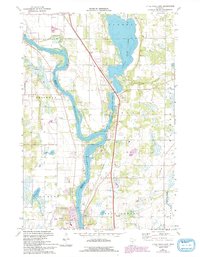
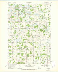
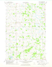
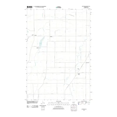
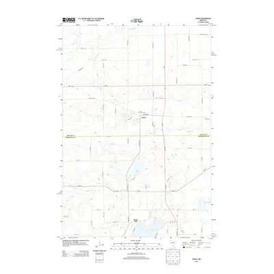
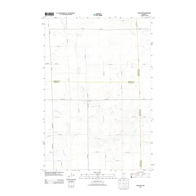
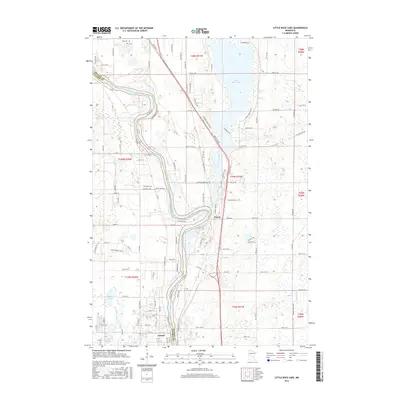
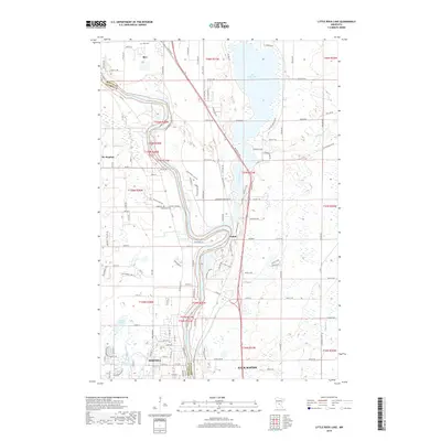
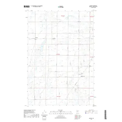
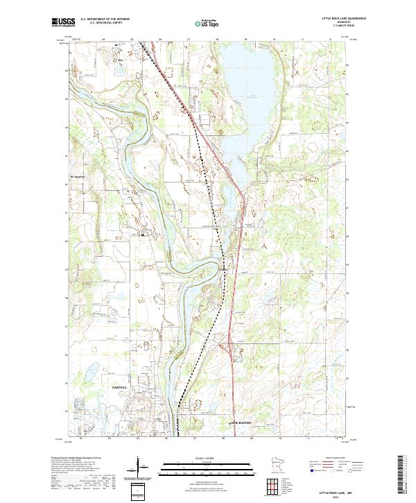
1974 Map of Little Rock Lake
USGS Topo · Published 1993About this map
The Mississippi River carves a winding path through the heart of this landscape, separating the townships of Brockway and Watab. This mid-1970s record highlights the area's transition from agricultural river valley to a more developed corridor, as seen in the growth of Sartell near the southern boundary. Along the eastern bank, Little Rock Lake serves as a major focal point, with its distinctive shoreline punctuated by Little Rock Creek and surrounding developments like the Trailer Park and Campground.
Find a feature on this map
31 named features on this map. Tap any name to fly to it.
Don’t see what you’re looking for? This feature index may not catch every label — zoom into the map to look around manually.
Map Details
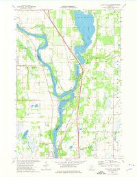
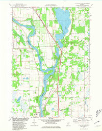
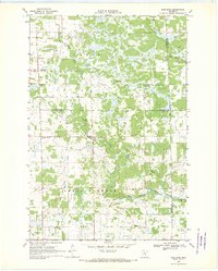
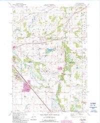
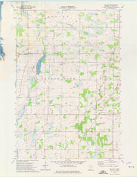
Editions of this 1974 Little Rock Lake Map
3 editions found
Historical Maps of Sartell Through Time
42 maps found
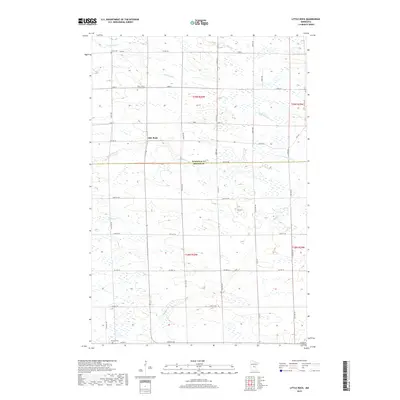
1968 Duelm
Benton County, MN
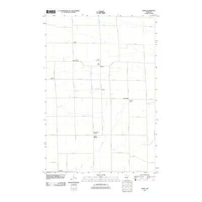
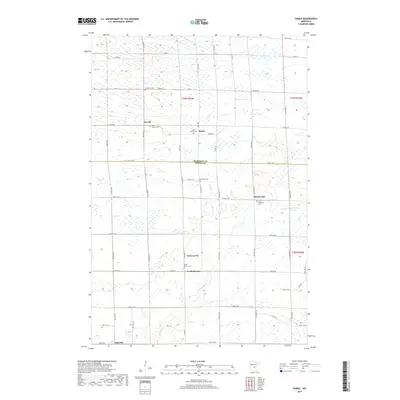
1968 Ramey
Benton County, MN
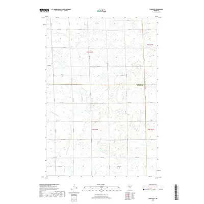
1968 Rum River
Benton County, MN
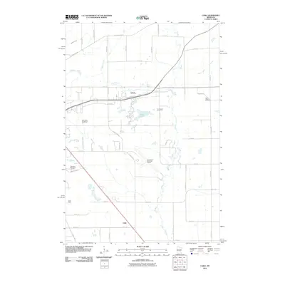
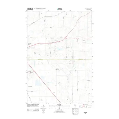
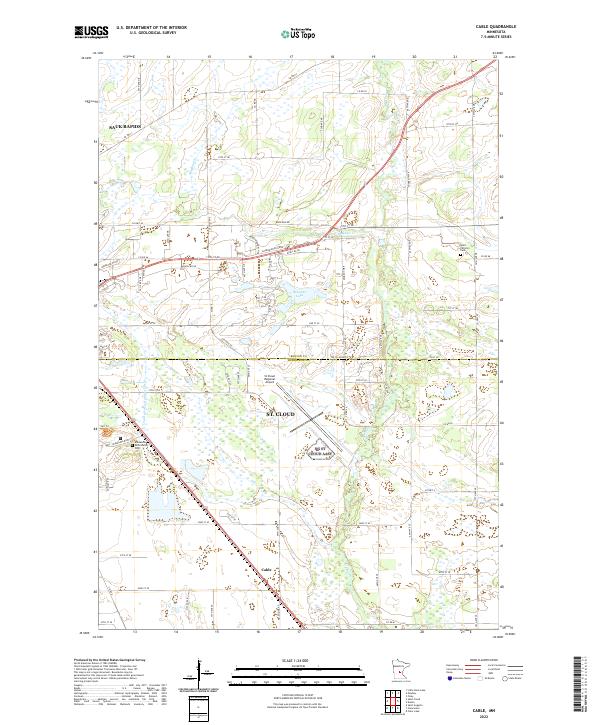
1974 Cable
Benton County, MN
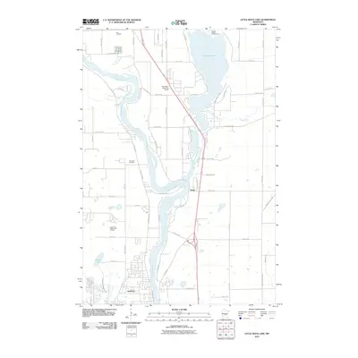
1974 Little Rock Lake
Benton County, MN
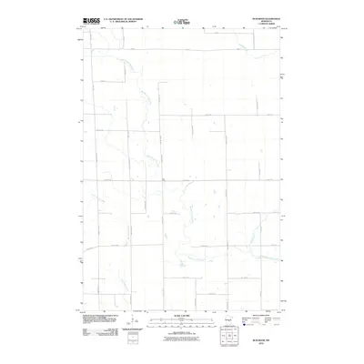
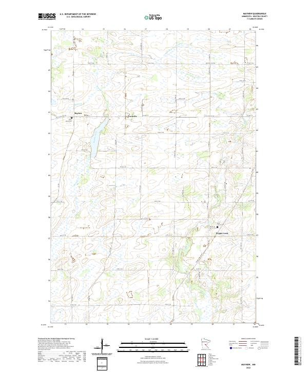
1974 Mayhew
Benton County, MN
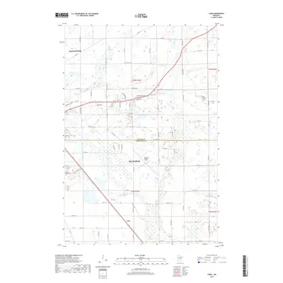
1978 Little Rock
Benton County, MN
2010 Cable
Benton County, MN

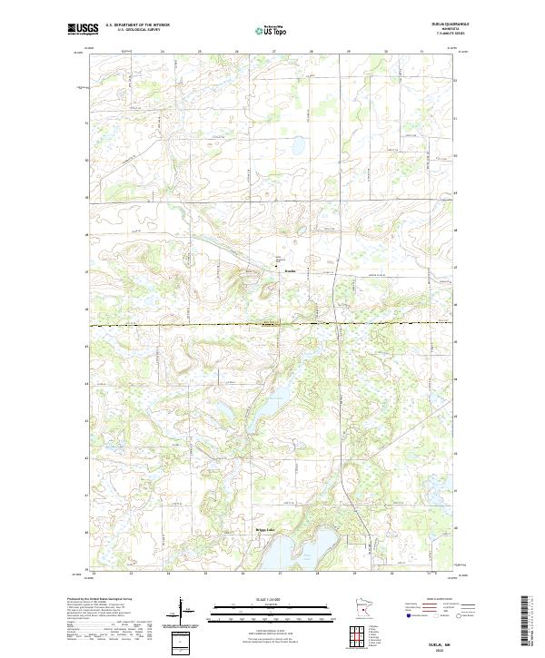
2010 Duelm
Benton County, MN
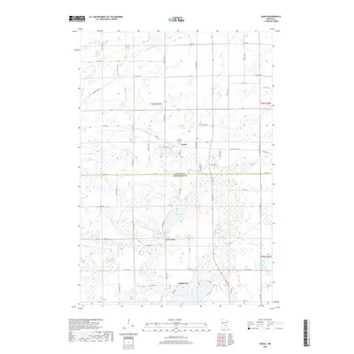
2010 Little Rock
Benton County, MN
2010 Little Rock Lake
Benton County, MN
2010 Mayhew
Benton County, MN
2010 Ramey
Benton County, MN
2010 Rum River
Benton County, MN
2013 Cable
Benton County, MN
2013 Duelm
Benton County, MN
2013 Little Rock
Benton County, MN

2013 Little Rock Lake
Benton County, MN
2013 Mayhew
Benton County, MN
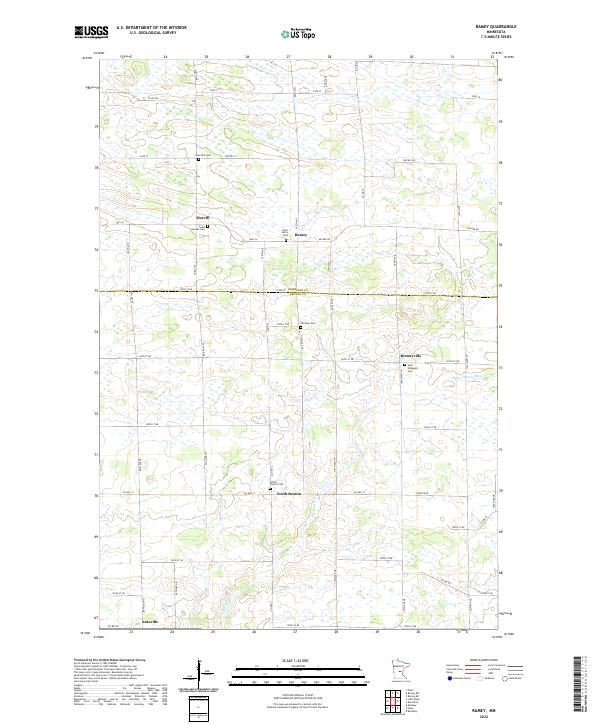
2013 Ramey
Benton County, MN
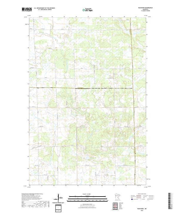
2013 Rum River
Benton County, MN
2016 Cable
Benton County, MN
2016 Duelm
Benton County, MN
2016 Little Rock
Benton County, MN
2016 Little Rock Lake
Benton County, MN
2016 Mayhew
Benton County, MN
2016 Ramey
Benton County, MN
2016 Rum River
Benton County, MN
2019 Cable
Benton County, MN
2019 Duelm
Benton County, MN
2019 Little Rock
Benton County, MN
2019 Little Rock Lake
Benton County, MN
2019 Mayhew
Benton County, MN
2019 Ramey
Benton County, MN
2019 Rum River
Benton County, MN
2022 Cable
Benton County, MN
2022 Duelm
Benton County, MN
2022 Little Rock
Benton County, MN
2022 Little Rock Lake
Benton County, MN
2022 Mayhew
Benton County, MN
2022 Ramey
Benton County, MN
2022 Rum River
Benton County, MN