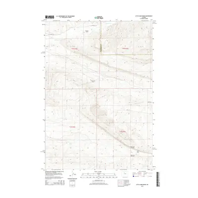
2015 Map of Little Sand Draw
USGS Topo · Published 2015About this map
Little Sand Draw and the surrounding drainage network define this high-desert landscape on the border of Hot Springs and Washakie counties. The map traces the intricate erosion patterns of the Big Horn Basin, where ephemeral watercourses like Coal Draw and its northern and southern forks cut through the arid terrain. To the north, the topographic relief shifts near Boulder Gulch and the perennial waters of Cottonwood Cr, providing a rare source of moisture in an otherwise parched environment.
Find a feature on this map
16 named features on this map. Tap any name to fly to it.
Don’t see what you’re looking for? This feature index may not catch every label — zoom into the map to look around manually.
Map Details
Editions of this 2015 Little Sand Draw Map
This is the sole edition of this map. No revisions or reprints were ever made.
Other maps of this area

1914 · Blue Mesa
USGS Topo · 1:62,500

1916 · Blue Mesa
USGS Topo · 1:62,500

1945 · Kirby
USGS Topo · 1:62,500

1946 · Kirby
USGS Topo · 1:62,500

1955 · Thermopolis
USGS Topo · 1:250,000

1958 · Thermopolis
USGS Topo · 1:250,000

1960 · Thermopolis
USGS Topo · 1:24,000

1962 · Thermopolis
USGS Topo · 1:250,000
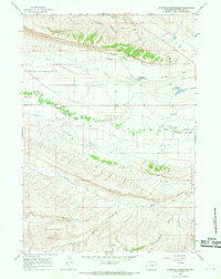
1965 · Thompson Reservoirs
USGS Topo · 1:24,000
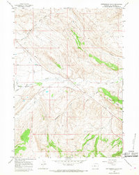
1965 · Rattlesnake Gulch
USGS Topo · 1:24,000