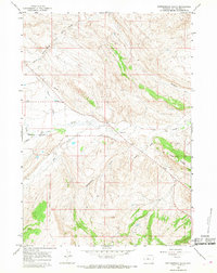
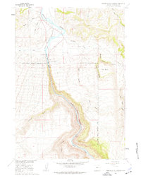
1965 Map of Rattlesnake Gulch
USGS Topo · Published 1968About this map
Indian Reservation Boundary lines define the western edge of this 1960s landscape, where the high arid terrain of Cedar Ridge gives way to a network of drainage systems. The survey captures a moment when land use was defined by water access and mineral extraction, noted by several Mines located near the southeastern corner. Hydrological monitoring is evident along Owl Creek at the Gaging Sta, reflecting the importance of managing water flow in the Wind River Basin. The topography is deeply incised by named features like Rattlesnake Gulch, Eagle Draw, and Mud Creek, which feed into the larger Wind River system. This data reveals the physical layout of the region before modern developments, showing the exact placement of fences, a Pipeline, and a small Roadside Park along the state route in the northwest corner.
Find a feature on this map
25 named features on this map. Tap any name to fly to it.
Don’t see what you’re looking for? This feature index may not catch every label — zoom into the map to look around manually.
Map Details
Editions of this 1965 Rattlesnake Gulch Map
2 editions found

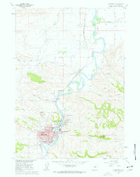
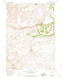
Other maps of this area

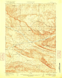
1914 · Blue Mesa
USGS Topo · 1:62,500
1916 · Blue Mesa
USGS Topo · 1:62,500
1945 · Kirby
USGS Topo · 1:62,500
1946 · Kirby
USGS Topo · 1:62,500

1955 · Thermopolis
USGS Topo · 1:250,000

1958 · Thermopolis
USGS Topo · 1:250,000
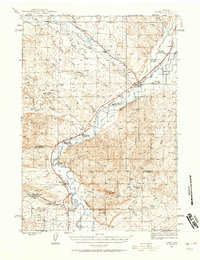
1960 · Wedding Of The Waters
USGS Topo · 1:24,000
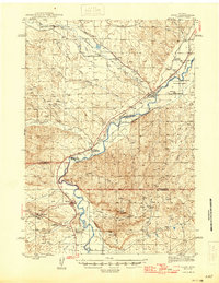
1960 · Thermopolis
USGS Topo · 1:24,000

1962 · Thermopolis
USGS Topo · 1:250,000
1965 · Potato Butte
USGS Topo · 1:24,000