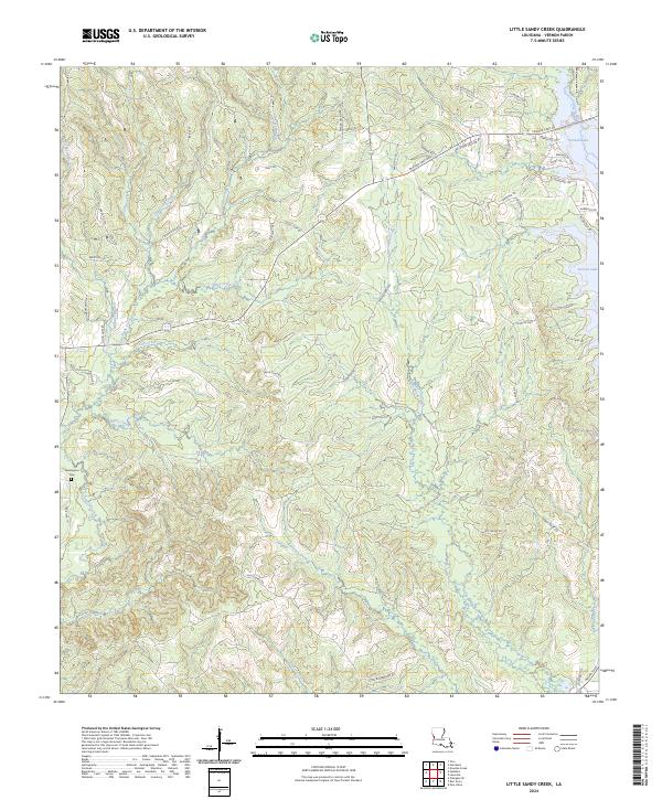
2024 Map of Little Sandy Creek
USGS Topo · Published 2024About this map
Little Sandy Creek defines the interior of this Vernon Parish landscape, winding through a complex network of tributaries such as Michael Branch and Dogwood Branch. The map reveals a rural transition where forest and water management intersect, notably around the edges of Vernon Lake and the high ground at Empire Pt. Settlement patterns here are dictated by the hydrology of the Calcasieu River basin, with family-named routes like Wanda Gaskin Rd and Rod Stevens Rd tracing the ridges between drainage basins.
Find a feature on this map
68 named features on this map. Tap any name to fly to it.
Don’t see what you’re looking for? This feature index may not catch every label — zoom into the map to look around manually.
Map Details
Editions of this 2024 Little Sandy Creek Map
This is the sole edition of this map. No revisions or reprints were ever made.
Other maps of this area

1941 · Leesville
USGS Topo · 1:62,500

1942 · Florien
USGS Topo · 1:62,500

1943 · Leesville
USGS Topo · 1:62,500

1944 · Negreet
USGS Topo · 1:62,500

1944 · Wiergate
USGS Topo · 1:62,500

1944 · Florien
USGS Topo · 1:62,500

1946 · Leesville
USGS Topo · 1:62,500

1948 · Leesville
USGS Topo · 1:62,500

1948 · Wiergate
USGS Topo · 1:62,500

1953 · Alexandria
USGS Topo · 1:250,000