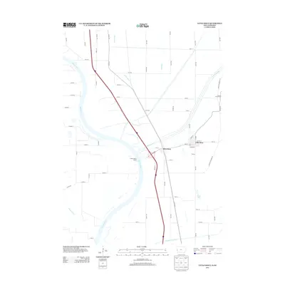
2013 Map of Little Sioux
USGS Topo · Published 2013About this map
The Little Sioux River meanders toward its confluence with the Missouri River on this 2013 survey of the Iowa-Nebraska border. The landscape is defined by the managed hydrology of the Missouri floodplain, where man-made features like the Tekamah Ditch, McNeil Ditch, and the Soldier River Cutoff have altered the natural flow to facilitate farming and flood control. The town of Little Sioux sits at the base of the Loess Hills, where the elevation rises sharply toward the Murray Hill Overlook. The interplay between the river's historical path, evidenced by the Little Sioux Bend, and the modern transportation corridor of Interstate 29 reveals how the region transitioned from river-based commerce to high-speed land transit. Smaller settlements like River Sioux remain as markers of the local community structure along these vital water and rail routes.
Find a feature on this map
69 named features on this map. Tap any name to fly to it.
Don’t see what you’re looking for? This feature index may not catch every label — zoom into the map to look around manually.
Map Details
Editions of this 2013 Little Sioux Map
This is the sole edition of this map. No revisions or reprints were ever made.
Other maps of this area

1954 · Omaha
USGS Topo · 1:250,000

1955 · Fremont
USGS Topo · 1:250,000

1957 · Fremont
USGS Topo · 1:250,000

1957 · Omaha
USGS Topo · 1:250,000

1958 · Omaha
USGS Topo · 1:250,000

1958 · Fremont
USGS Topo · 1:250,000

1970 · Little Sioux
USGS Topo · 1:24,000
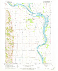
1970 · Tekamah NW
USGS Topo · 1:24,000
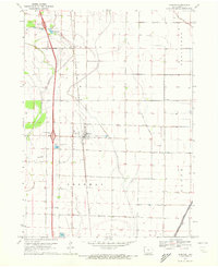
1970 · Blencoe
USGS Topo · 1:24,000

1970 · Herman
USGS Topo · 1:24,000