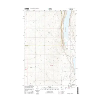
2017 Map of Little Soap Lake
USGS Topo · Published 2017About this map
The Lower Grand Coulee defines this portion of the Washington landscape, where the basalt-rimmed basin transitions from the high desert plateau down to a string of mineral-rich water bodies. Soap Lake and its northern neighbors, Little Soap Lake and Lenore Lake, sit at the base of steep canyon walls that include Sparks Canyon and Sheep Canyon. These lakes are iconic features of the Coulee corridor, historically noted for their unique water chemistry.
Find a feature on this map
33 named features on this map. Tap any name to fly to it.
Don’t see what you’re looking for? This feature index may not catch every label — zoom into the map to look around manually.
Map Details
Editions of this 2017 Little Soap Lake Map
This is the sole edition of this map. No revisions or reprints were ever made.
Other maps of this area

1953 · Ritzville
USGS Topo · 1:250,000

1956 · Ephrata
USGS Topo · 1:62,500

1956 · Ephrata
USGS Topo · 1:24,000

1956 · Ephrata SW
USGS Topo · 1:24,000

1956 · Grant Orchards
USGS Topo · 1:24,000

1956 · Soap Lake
USGS Topo · 1:24,000

1959 · Ritzville
USGS Topo · 1:250,000

1965 · Ritzville
USGS Topo · 1:250,000

1965 · Jameson Lake SW
USGS Topo · 1:24,000

1965 · Jameson Lake SE
USGS Topo · 1:24,000