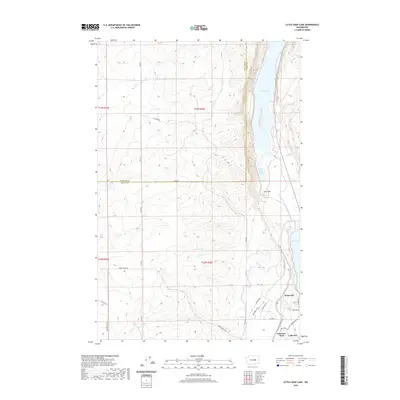
2020 Map of Little Soap Lake
USGS Topo · Published 2020About this map
Soap Lake serves as the focal point for this high-desert landscape where the coulee floor meets the town limits of Lakeview and Lakeview Park. The map documents a chain of alkaline and freshwater bodies, including Lenore Lake, Little Soap Lake, and Dry Lake, which characterize this unique geological depression in Grant County. Human impact is visible through the engineering of the West Canal and a grid of rural routes such as Pixlee Rd and Sheep Canyon Rd that navigate the varied elevations.
Find a feature on this map
26 named features on this map. Tap any name to fly to it.
Don’t see what you’re looking for? This feature index may not catch every label — zoom into the map to look around manually.
Map Details
Editions of this 2020 Little Soap Lake Map
This is the sole edition of this map. No revisions or reprints were ever made.
Other maps of this area

1953 · Ritzville
USGS Topo · 1:250,000

1956 · Ephrata
USGS Topo · 1:62,500

1956 · Ephrata
USGS Topo · 1:24,000

1956 · Ephrata SW
USGS Topo · 1:24,000

1956 · Grant Orchards
USGS Topo · 1:24,000

1956 · Soap Lake
USGS Topo · 1:24,000

1959 · Ritzville
USGS Topo · 1:250,000

1965 · Ritzville
USGS Topo · 1:250,000

1965 · Jameson Lake SW
USGS Topo · 1:24,000

1965 · Jameson Lake SE
USGS Topo · 1:24,000