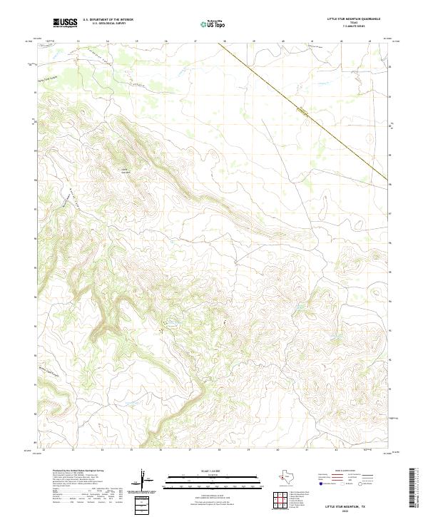
2022 Map of Little Star Mountain
USGS Topo · Published 2022About this map
The high Trans-Pecos desert landscape is defined by the elevation of Little Star Mtn, situated north of several named drainages including Rincon Canyon and Rooney Canyon. In this arid territory, the presence of localized water sources remains a critical geographical marker, evidenced by Indian Springs, Adobe Springs, and ranch-related water catchments such as White Tanks and Cavett Tank.
Find a feature on this map
15 named features on this map. Tap any name to fly to it.
Don’t see what you’re looking for? This feature index may not catch every label — zoom into the map to look around manually.
Map Details
Editions of this 2022 Little Star Mountain Map
This is the sole edition of this map. No revisions or reprints were ever made.
Other maps of this area

1894 · Fort Davis
USGS Topo · 1:125,000

1897 · Fort Davis
USGS Topo · 1:125,000

1929 · Hovey
USGS Topo · 1:125,000

1954 · Fort Stockton
USGS Topo · 1:250,000

1958 · Fort Stockton
USGS Topo · 1:250,000

1970 · Deep Well Ranch
USGS Topo · 1:24,000

1973 · Fort Stockton
USGS Topo · 1:250,000
1980 · Henderson Mesa
USGS Topo · 1:24,000
1980 · Barrilla Mountains East
USGS Topo · 1:24,000
1980 · Hovey SW
USGS Topo · 1:24,000