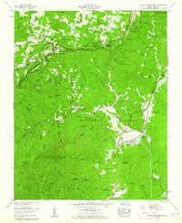
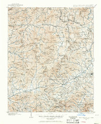
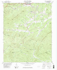
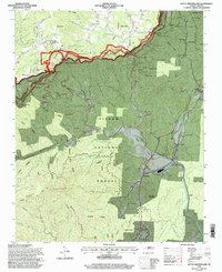
1960 Map of Little Switzerland
USGS Topo · Published 1962This historical map portrays the area of Little Switzerland in 1960, primarily covering McDowell County as well as portions of Mitchell County. Featuring a scale of 1:24000, this map provides a highly detailed snapshot of the terrain, roads, buildings, counties, and historical landmarks in the Little Switzerland region at the time. Published in 1962, it is one of 5 known editions of this map due to revisions or reprints.
Find a feature on this map
119 named features on this map. Tap any name to fly to it.
Don’t see what you’re looking for? This feature index may not catch every label — zoom into the map to look around manually.
Map Details
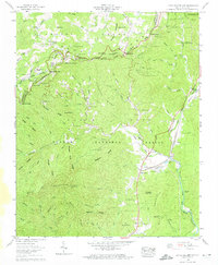
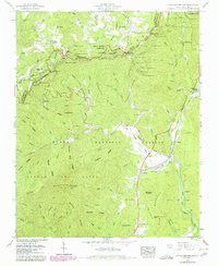
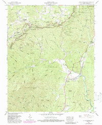
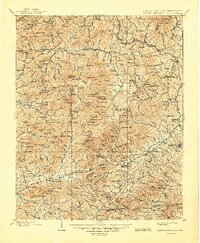
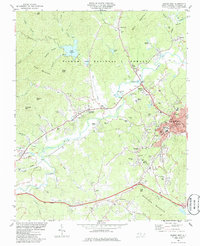
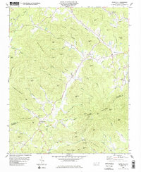
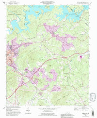
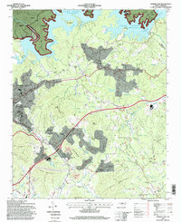
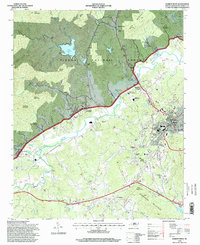
Editions of this 1960 Little Switzerland Map
5 editions found
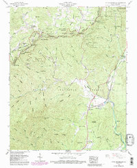
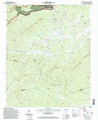
Historical Maps of Osborne Knob Through Time
13 maps found
1900 Mount Mitchell
McDowell County, NC
1902 Mount Mitchell
McDowell County, NC

1934 Parts Of Old Fort and Montreat
McDowell County, NC
1960 Little Switzerland
McDowell County, NC
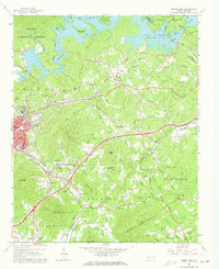
1962 Marion East
McDowell County, NC
1982 Moffitt Hill
McDowell County, NC
1985 Marion West
McDowell County, NC
1985 Sugar Hill
McDowell County, NC
1993 Marion East
McDowell County, NC
1994 Little Switzerland
McDowell County, NC
1994 Marion East
McDowell County, NC
1994 Marion West
McDowell County, NC
1994 Moffitt Hill
McDowell County, NC