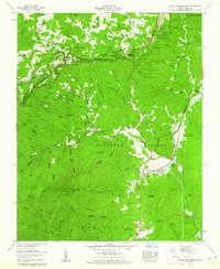
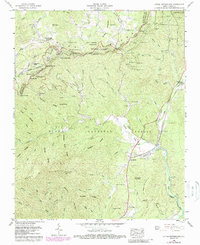
1960 Map of Little Switzerland
USGS Topo · Published 1962About this map
The Clinchfield railroad carves a remarkable engineering path through the Blue Ridge, dominated by a series of tunnels including the Bird Ridge Tunnel, Upper Pine Tunnel, and the triple sequence of the 1st Washburn, 2nd Washburn, and 3rd Washburn. This transit network supports the mountain settlements of Little Switzerland and Wildacres, while the high country is punctuated by the Woods Mountain Lookout Tower and a prominent stretch of the Blue Ridge Parkway near Gillespie Gap.
Find a feature on this map
119 named features on this map. Tap any name to fly to it.
Don’t see what you’re looking for? This feature index may not catch every label — zoom into the map to look around manually.
Map Details
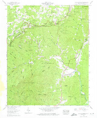
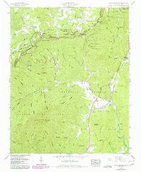
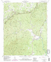
Editions of this 1960 Little Switzerland Map
5 editions found
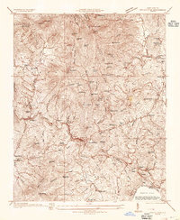
Other maps of this area

1900 · Mount Mitchell
USGS Topo · 1:125,000

1902 · Mount Mitchell
USGS Topo · 1:125,000

1905 · Morganton
USGS Topo · 1:125,000

1934 · Micaville
USGS Topo · 1:24,000
1934 · Spruce Pine
USGS Topo · 1:24,000

1934 · Parts Of Celo And Black Brothers
USGS Topo · 1:24,000

1934 · Parts Of Old Fort and Montreat
USGS Topo · 1:24,000

1934 · Linville Falls
USGS Topo · 1:24,000

1953 · Charlotte
USGS Topo · 1:250,000

1954 · Charlotte
USGS Topo · 1:250,000