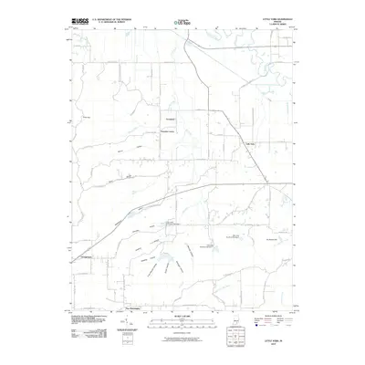
2010 Map of Little York
USGS Topo · Published 2010About this map
Little York serves as a central hub in this corner of Washington County, where the landscape is defined by a dense network of hollows and ridges carved by northern tributaries. The terrain transitions from the broader flats of the Muscatatuck River in the north to a more dissected upland in the south, where family-named landmarks like Frank Garrett Hollow and McKnight Hollow reflect long-standing local ties. The presence of settlements such as Pumpkin Center and Gooseport highlights small, rural gathering points that have persisted alongside the winding rural road network.
Find a feature on this map
70 named features on this map. Tap any name to fly to it.
Don’t see what you’re looking for? This feature index may not catch every label — zoom into the map to look around manually.
Map Details
Editions of this 2010 Little York Map
This is the sole edition of this map. No revisions or reprints were ever made.
Other maps of this area

1947 · Scottsburg
USGS Topo · 1:24,000

1949 · Henryville
USGS Topo · 1:24,000

1950 · Salem
USGS Topo · 1:24,000

1953 · Kossuth
USGS Topo · 1:24,000

1955 · South Boston
USGS Topo · 1:24,000

1956 · Vincennes
USGS Topo · 1:250,000

1956 · Louisville
USGS Topo · 1:250,000

1957 · Vincennes
USGS Topo · 1:250,000

1958 · Vincennes
USGS Topo · 1:250,000

1958 · Little York
USGS Topo · 1:24,000