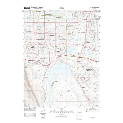
2013 Map of Littleton
USGS Topo · Published 2013About this map
Chatfield State Park and the massive Chatfield Lake dominate the southern portion of this landscape, where the South Platte River is managed through an extensive network of water infrastructure. The map illustrates the complex hydrography of the Front Range, featuring the Highline Canal, City Ditch, and Nevada Ditch alongside numerous reservoirs like McLellan Reservoir and Marston Lake. Residential development is highly granular, showing the established neighborhoods of Littleton, Columbine, and the expansive Highlands Ranch.
Find a feature on this map
144 named features on this map. Tap any name to fly to it.
Don’t see what you’re looking for? This feature index may not catch every label — zoom into the map to look around manually.
Map Details
Editions of this 2013 Littleton Map
This is the sole edition of this map. No revisions or reprints were ever made.
Other maps of this area

1890 · East Denver
USGS Topo · 1:125,000

1893 · Platte Canyon
USGS Topo · 1:125,000

1894 · Castle Rock
USGS Topo · 1:125,000

1899 · West Denver
USGS Topo · 1:125,000

1913 · Castle Rock
USGS Topo · 1:125,000

1935 · East Denver Nos. 3 and 4
USGS Topo · 1:48,000

1938 · Morrison
USGS Topo · 1:24,000

1940 · Englewood
USGS Topo · 1:31,680

1940 · Castle Rock
USGS Topo · 1:62,500

1941 · Fort Logan
USGS Topo · 1:31,680