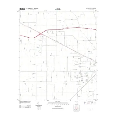
2012 Map of Live Oak West
USGS Topo · Published 2012About this map
Dickert and Starr sit at the center of this rural Suwannee County landscape, where the agricultural grid is defined by an extensive network of numbered roads like 181st Rd and 147th Rd. The presence of Rock Cut Cem near the rail line suggests a deeper layer of local family history tucked between the fields. This area showcases the transition between small unincorporated settlements and the expanding infrastructure of the county seat to the east, evidenced by the Suwannee County Airport and the prominent diagonal of Railroad St. The map captures the quiet persistence of community nodes like Mercer amid a modernizing transportation network of interstate interchanges and rural county thoroughfares.
Find a feature on this map
118 named features on this map. Tap any name to fly to it.
Don’t see what you’re looking for? This feature index may not catch every label — zoom into the map to look around manually.
Map Details
Editions of this 2012 Live Oak West Map
This is the sole edition of this map. No revisions or reprints were ever made.
Other maps of this area

1954 · Dowling Park
USGS Topo · 1:24,000

1954 · Valdosta
USGS Topo · 1:250,000

1955 · Mayo NE
USGS Topo · 1:24,000

1958 · Valdosta
USGS Topo · 1:250,000

1958 · Fort Union
USGS Topo · 1:24,000

1959 · Valdosta
USGS Topo · 1:250,000

1959 · Ellaville
USGS Topo · 1:24,000

1959 · Live Oak West
USGS Topo · 1:24,000

1959 · Falmouth
USGS Topo · 1:24,000

1961 · Live Oak East
USGS Topo · 1:24,000