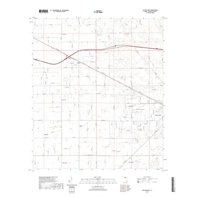
2018 Map of Live Oak West
USGS Topo · Published 2018About this map
Live Oak anchors the eastern edge of this Suwannee County landscape, where the urban grid gives way to a sprawling network of numbered county roads and agricultural plots. The western outskirts of the city are defined by transportation and utility, featuring the Suwannee County Airport and the prominent corridor of Railroad St. To the west and north, smaller named settlements such as Dickert, Starr, and Mercer mark the intersections of rural life, reflecting the region's long history of scattered community hubs.
Find a feature on this map
105 named features on this map. Tap any name to fly to it.
Don’t see what you’re looking for? This feature index may not catch every label — zoom into the map to look around manually.
Map Details
Editions of this 2018 Live Oak West Map
This is the sole edition of this map. No revisions or reprints were ever made.
Other maps of this area

1954 · Dowling Park
USGS Topo · 1:24,000

1954 · Valdosta
USGS Topo · 1:250,000

1955 · Mayo NE
USGS Topo · 1:24,000

1958 · Valdosta
USGS Topo · 1:250,000

1958 · Fort Union
USGS Topo · 1:24,000

1959 · Valdosta
USGS Topo · 1:250,000

1959 · Ellaville
USGS Topo · 1:24,000

1959 · Live Oak West
USGS Topo · 1:24,000

1959 · Falmouth
USGS Topo · 1:24,000

1961 · Live Oak East
USGS Topo · 1:24,000