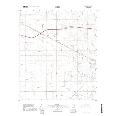
2021 Map of Live Oak West
USGS Topo · Published 2021About this map
Live Oak serves as the primary hub in this Suwannee County landscape, where the town grid transitions into a network of rural routes and agricultural corridors. The influence of early transportation is visible in the corridor of Railroad St, which parallels the rail line and connects the community to smaller outlying points like Dickert. Further south, the settlements of Starr and Mercer sit amidst a pattern of section lines and secondary roads such as W Co Rd 10A and Howard St W. The presence of the Rock Cut Cem near the rail line offers a point of interest for genealogists tracing local families. The Suwannee County Airport occupies a significant tract just west of the main town, reflecting the area's modern infrastructure while maintaining its character as a junction of northern Florida's pine-and-farmland interior.
Find a feature on this map
72 named features on this map. Tap any name to fly to it.
Don’t see what you’re looking for? This feature index may not catch every label — zoom into the map to look around manually.
Map Details
Editions of this 2021 Live Oak West Map
This is the sole edition of this map. No revisions or reprints were ever made.
Other maps of this area

1954 · Dowling Park
USGS Topo · 1:24,000

1954 · Valdosta
USGS Topo · 1:250,000

1955 · Mayo NE
USGS Topo · 1:24,000

1958 · Valdosta
USGS Topo · 1:250,000

1958 · Fort Union
USGS Topo · 1:24,000

1959 · Valdosta
USGS Topo · 1:250,000

1959 · Ellaville
USGS Topo · 1:24,000

1959 · Live Oak West
USGS Topo · 1:24,000

1959 · Falmouth
USGS Topo · 1:24,000

1961 · Live Oak East
USGS Topo · 1:24,000