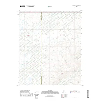
2017 Map of Livengood A-4 SE
USGS Topo · Published 2017About this map
Tatalina River and the Washington Cr drainage define this remote Interior Alaska landscape during the late 2010s. The map captures a transition point between the Yukon-Koyukuk Census Area and the Fairbanks North Star Borough, showing an area largely untouched by modern road infrastructure. To the southeast, the Chatanika River flows through a valley where the terrain begins to rise into more pronounced ridges. The survey illustrates the intricate wetland networks and shifting river channels that dominate the northern reaches of the quadrangle, providing a detailed record of the natural hydrology in this subarctic wilderness before significant environmental changes occur.
Find a feature on this map
10 named features on this map. Tap any name to fly to it.
Don’t see what you’re looking for? This feature index may not catch every label — zoom into the map to look around manually.
Map Details
Editions of this 2017 Livengood A-4 SE Map
This is the sole edition of this map. No revisions or reprints were ever made.
Other maps of this area

1945 · Livengood
USGS Topo · 1:250,000

1949 · Fairbanks D-3
USGS Topo · 1:63,360

1949 · Fairbanks D-4
USGS Topo · 1:63,360

1950 · Fairbanks
USGS Topo · 1:250,000

1950 · Fairbanks D-3
USGS Topo · 1:63,360

1951 · Fairbanks
USGS Topo · 1:250,000

1951 · Livengood
USGS Topo · 1:250,000

1951 · Livengood A-4
USGS Topo · 1:63,360

1952 · Fairbanks D-3
USGS Topo · 1:63,360

1952 · Fairbanks D-4
USGS Topo · 1:63,360