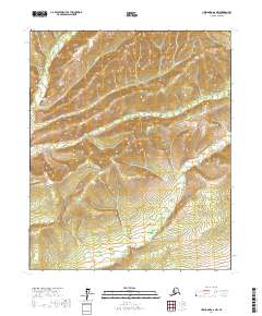
2017 Map of Livengood A-6 NW
USGS Topo · Published 2017About this map
Hutlinana Hot Spring stands as a notable geographical marker in this interior Alaskan landscape, situated near the confluence of several high-latitude waterways. The area is defined by a dense network of drainages including Hutlinana Cr, Cairo Cr, and Goff Cr, which carve through the terrain between prominent landmarks like Elephant Gulch. The Elliott Highway provides the primary corridor for transit through this wilderness, winding past southern drainages such as Silverbow Cr and Applegate Cr. The map's layout of townships including t5n r12w and t4n r11w illustrates the systematic surveying of this remote region, where the intersection of geological features like Hutlitakwa Cr and human infrastructure remains sparse but significant.
Find a feature on this map
13 named features on this map. Tap any name to fly to it.
Don’t see what you’re looking for? This feature index may not catch every label — zoom into the map to look around manually.
Map Details
Editions of this 2017 Livengood A-6 NW Map
This is the sole edition of this map. No revisions or reprints were ever made.
Other maps of this area

1945 · Livengood
USGS Topo · 1:250,000

1951 · Tanana
USGS Topo · 1:250,000

1951 · Livengood
USGS Topo · 1:250,000

1952 · Tanana A-1
USGS Topo · 1:63,360

1952 · Livengood A-6
USGS Topo · 1:63,360

1953 · Livengood A-6
USGS Topo · 1:63,360

1956 · Tanana B-1
USGS Topo · 1:63,360

1956 · Livengood B-6
USGS Topo · 1:63,360

1956 · Livengood
USGS Topo · 1:250,000

1956 · Tanana
USGS Topo · 1:250,000