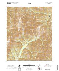
2017 Map of Livengood B-6 SW
USGS Topo · Published 2017About this map
Wolverine Mtn and Elephant Mtn dominate this interior Alaskan landscape, which is defined by an intricate network of creeks and drainage basins within the Yukon-Koyukuk region. The area's aviation history is anchored by the Quail Creek Airport in the northeast, positioned near Quail Cr and Nugget Cr. This remote terrain shows a classic pattern of northern wilderness development, where named tributaries like Thirteen Pup and Green Gulch suggest a history of prospecting and drainage-based navigation.
Find a feature on this map
23 named features on this map. Tap any name to fly to it.
Don’t see what you’re looking for? This feature index may not catch every label — zoom into the map to look around manually.
Map Details
Editions of this 2017 Livengood B-6 SW Map
This is the sole edition of this map. No revisions or reprints were ever made.
Other maps of this area

1945 · Livengood
USGS Topo · 1:250,000

1951 · Tanana
USGS Topo · 1:250,000

1951 · Livengood
USGS Topo · 1:250,000

1952 · Tanana A-1
USGS Topo · 1:63,360

1952 · Livengood A-6
USGS Topo · 1:63,360

1953 · Livengood A-6
USGS Topo · 1:63,360

1956 · Tanana B-1
USGS Topo · 1:63,360

1956 · Livengood B-6
USGS Topo · 1:63,360

1956 · Livengood
USGS Topo · 1:250,000

1956 · Tanana
USGS Topo · 1:250,000