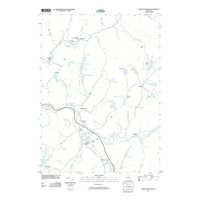
2010 Map of Livingston Manor
USGS Topo · Published 2010About this map
The Little Beaver Kill and Willowemoc Creek converge at Livingston Manor, a hub of valley settlement and river life in Sullivan County. This landscape is defined by its abundance of water and recreational sites, including the Beaverkill Campground and numerous camps such as Acadia Camp and the Hi-Li International Boys Camp. Local history is anchored by physical landmarks like the Beaverkill Covered Bridge and the Van Tran Flat Bridge, which highlight the area's long-standing transportation patterns. Significant genealogical interest can be found at the Saint Aloysius Cemetery, Orchard Street Cemetery, and the Agudas Achim Cemetery near Morsston. The terrain is marked by prominent high points such as Round Top and Gray Hill, overlooking a dense network of lakes including Quick Lake and Waneta Lake.
Find a feature on this map
94 named features on this map. Tap any name to fly to it.
Don’t see what you’re looking for? This feature index may not catch every label — zoom into the map to look around manually.
Map Details
Editions of this 2010 Livingston Manor Map
This is the sole edition of this map. No revisions or reprints were ever made.
Other maps of this area

1901 · Margaretville
USGS Topo · 1:62,500

1904 · Margaretville
USGS Topo · 1:62,500

1910 · Neversink
USGS Topo · 1:62,500

1921 · Livingston Manor
USGS Topo · 1:62,500

1922 · Andes
USGS Topo · 1:62,500

1923 · Livingston Manor
USGS Topo · 1:62,500

1924 · Andes
USGS Topo · 1:62,500

1942 · Neversink
USGS Topo · 1:62,500

1943 · Monticello
USGS Topo · 1:125,000

1944 · Livingston Manor
USGS Topo · 1:62,500