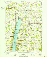
1951 Map of Livonia
USGS Topo · Published 1952About this map
Conesus Lake serves as the central anchor for this post-war landscape, its eastern and western shores lined with seasonal and year-round developments. The settlement of Livonia stands as the primary hub, connected by the Erie RR and Lehigh Valley RR systems that once moved local goods and passengers through the Finger Lakes region. Along the waterfront, specific landings and points such as Steggs Landing, Sacketts Harbor, and Eagle Point suggest a long-standing recreation and maritime culture.
Find a feature on this map
84 named features on this map. Tap any name to fly to it.
Don’t see what you’re looking for? This feature index may not catch every label — zoom into the map to look around manually.
Map Details
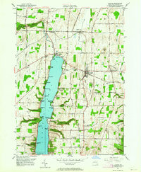
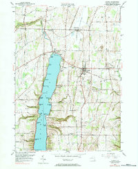
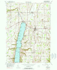
Editions of this 1951 Livonia Map
4 editions found
Other maps of this area

1901 · Honeoye
USGS Topo · 1:62,500

1902 · Wayland
USGS Topo · 1:62,500

1904 · Wayland
USGS Topo · 1:62,500

1904 · Caledonia
USGS Topo · 1:62,500

1904 · Honeoye
USGS Topo · 1:62,500

1905 · Nunda
USGS Topo · 1:62,500

1934 · Rush
USGS Topo · 1:24,000
1934 · Honeoye Falls
USGS Topo · 1:24,000

1942 · Springwater
USGS Topo · 1:31,680
1942 · Honeoye
USGS Topo · 1:31,680