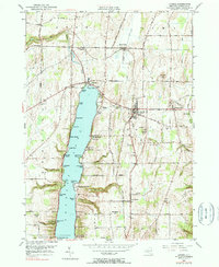
1951 Map of Livonia
USGS Topo · Published 1990About this map
Conesus Lake dominates this mid-century landscape, its shoreline dotted with recreational and residential points such as Pebble Beach, Sunny Shores, and Sacketts Harbor. The eastern shore transitions into the steep terrain of Henderson Hill and Turkey Hill, carved by numerous drainages like Denshore Gully and South Gully. This topography shaped the local development, concentrating settlements like Lakeville at the northern outlet where Conesus Creek begins its course.
Find a feature on this map
83 named features on this map. Tap any name to fly to it.
Don’t see what you’re looking for? This feature index may not catch every label — zoom into the map to look around manually.
Map Details
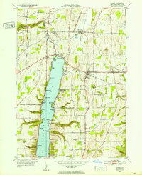
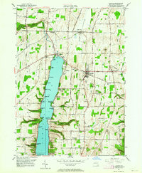
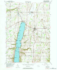
Editions of this 1951 Livonia Map
4 editions found
Other maps of this area

1901 · Honeoye
USGS Topo · 1:62,500

1902 · Wayland
USGS Topo · 1:62,500

1904 · Wayland
USGS Topo · 1:62,500

1904 · Caledonia
USGS Topo · 1:62,500

1904 · Honeoye
USGS Topo · 1:62,500

1905 · Nunda
USGS Topo · 1:62,500

1934 · Rush
USGS Topo · 1:24,000
1934 · Honeoye Falls
USGS Topo · 1:24,000

1942 · Springwater
USGS Topo · 1:31,680
1942 · Honeoye
USGS Topo · 1:31,680