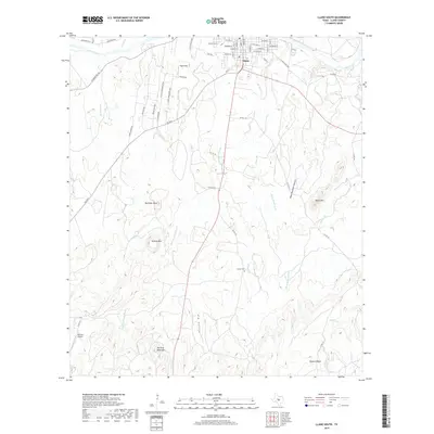
2019 Map of Llano South
USGS Topo · Published 2019About this map
Llano sits at the northern edge of this landscape where the Llano River flows eastward, anchoring a network of residential streets such as W Wallace St and E College St. The town serves as a gateway to the granite-rich Central Texas uplift, a character reflected in the distribution of named elevations and drainage basins throughout the quadrangle. Moving south, the terrain rises into significant landmarks like Hickory Mtn and Sharp Mtn, while the seasonal waters of Oatman Cr and Byrnes Cr carve deep hollows into the earth.
Find a feature on this map
66 named features on this map. Tap any name to fly to it.
Don’t see what you’re looking for? This feature index may not catch every label — zoom into the map to look around manually.
Map Details
Editions of this 2019 Llano South Map
This is the sole edition of this map. No revisions or reprints were ever made.
Other maps of this area

1887 · Llano
USGS Topo · 1:125,000

1894 · Llano
USGS Topo · 1:125,000

1904 · Llano
USGS Topo · 1:125,000

1909 · Llano
USGS Topo · 1:125,000

1918 · Llano
USGS Topo · 1:125,000

1954 · Llano
USGS Topo · 1:250,000

1955 · Llano
USGS Topo · 1:250,000

1955 · Valley Spring
USGS Topo · 1:24,000
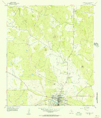
1955 · Llano North
USGS Topo · 1:24,000
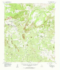
1955 · Valley Spring
USGS Topo · 1:62,500