
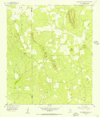
1955 Map of Valley Spring
USGS Topo · Published 1956About this map
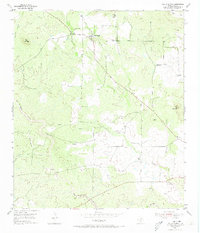
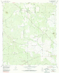
Valley Spring serves as the primary focal point of this mid-1950s survey of the Texas Hill Country, situated where Sand Spring Creek and Johnson Creek converge. The landscape is defined by its intermittent drainage patterns and scattered landmarks of local importance, including Shiloh Ch and two distinct burial sites, Valley Spring Cem and Salem Cem. A network of unpaved roads and windmills points to a predominantly ranching-based economy during this era, while an Inactive Quarry near Wolf Mountain suggests earlier industrial efforts in the area. Prominent geological features like Deer Mountain and Phillips Rock break the undulating terrain, providing a look at the rural Llano County geography before significant modern development altered these traditional property lines and transit routes.
Find a feature on this map
17 named features on this map. Tap any name to fly to it.
Don’t see what you’re looking for? This feature index may not catch every label — zoom into the map to look around manually.
Map Details
Editions of this 1955 Valley Spring Map
3 editions found
Other maps of this area

1887 · Llano
USGS Topo · 1:125,000

1894 · Llano
USGS Topo · 1:125,000

1904 · Llano
USGS Topo · 1:125,000

1909 · Llano
USGS Topo · 1:125,000

1918 · Llano
USGS Topo · 1:125,000

1954 · Llano
USGS Topo · 1:250,000

1955 · Llano
USGS Topo · 1:250,000
1955 · Magill Mountain
USGS Topo · 1:24,000
1955 · Llano North
USGS Topo · 1:24,000
1955 · Smoothingiron Mountain
USGS Topo · 1:24,000