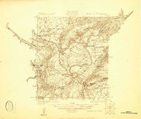
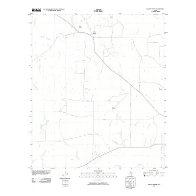
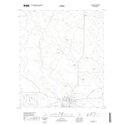
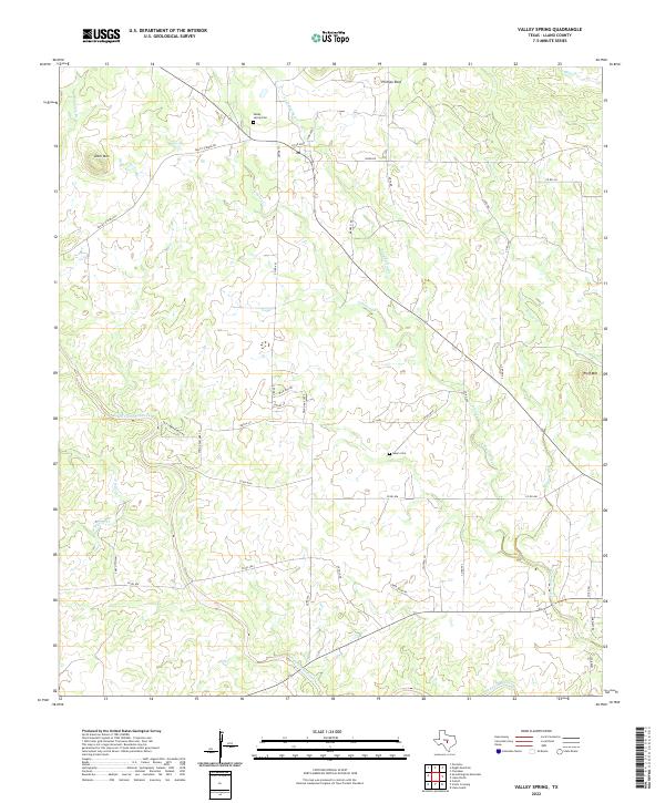
1955 Map of Valley Spring
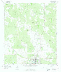
USGS Topo · Published 1987About this map
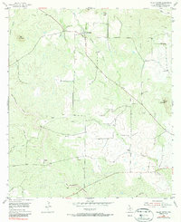
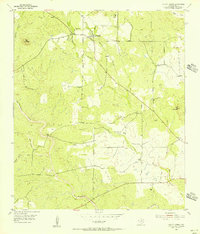
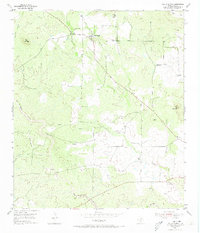
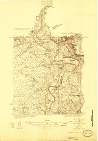
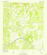
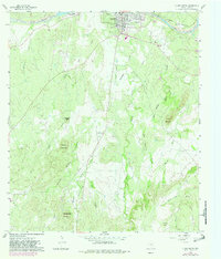
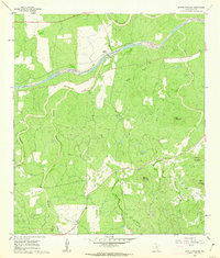
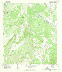
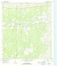
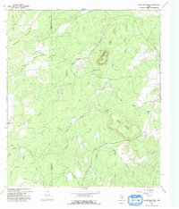
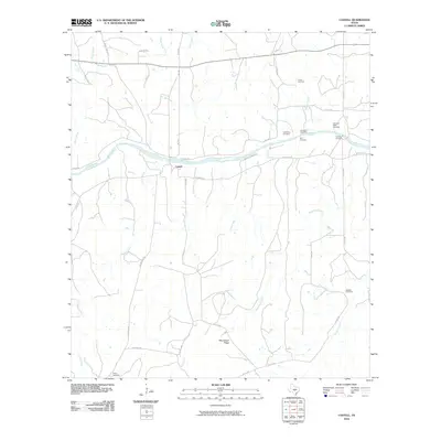
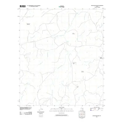
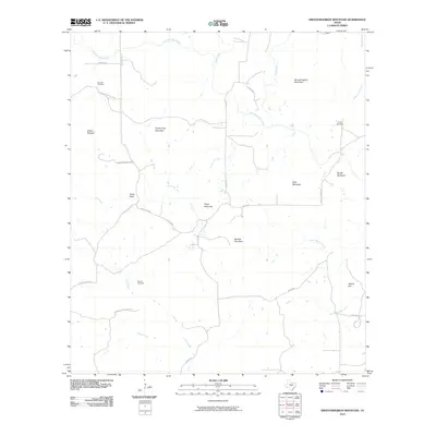
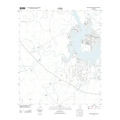
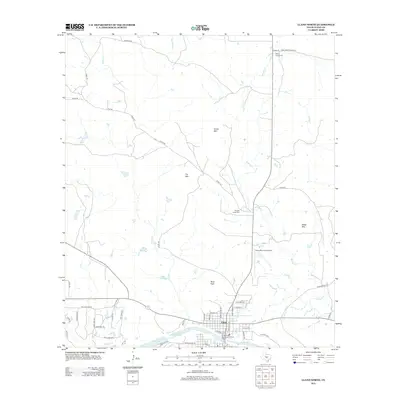
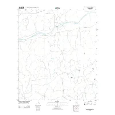
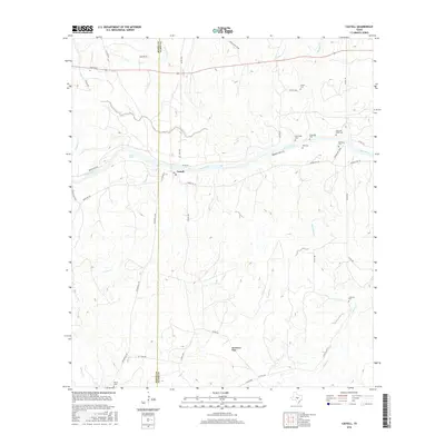
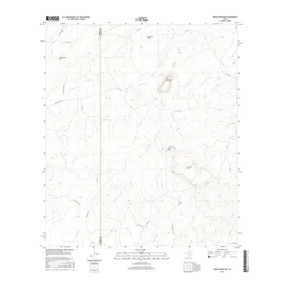
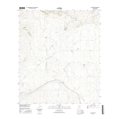
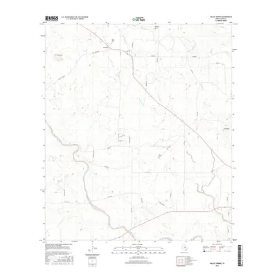
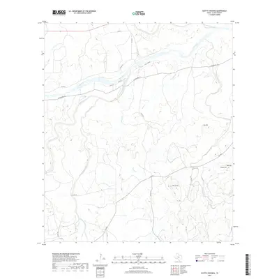
Valley Spring and its surrounding ranchlands appear in this mid-century survey as a landscape defined by seasonal watercourses and prominent granite uplifts. The settlement is centered near the confluence of Sand Spring Creek and Johnson Creek, where the local cemetery and several windmills mark the domestic heart of the Llano County countryside. The terrain is notably punctuated by isolated peaks like Deer Mountain in the west and Wolf Mountain to the east, with Phillips Rock standing as a distinct landmark in the northern reaches.
Find a feature on this map
26 named features on this map. Tap any name to fly to it.
Don’t see what you’re looking for? This feature index may not catch every label — zoom into the map to look around manually.
Map Details
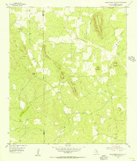
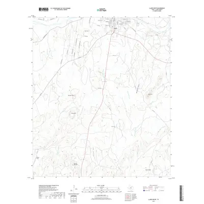
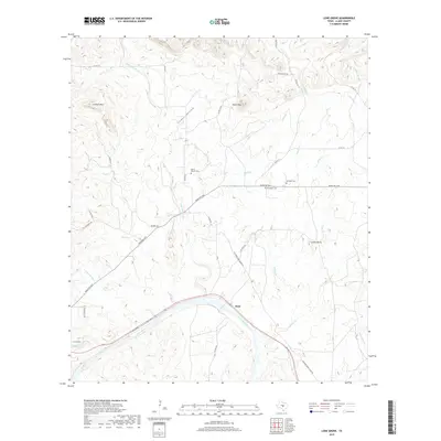
Editions of this 1955 Valley Spring Map
3 editions found
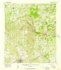
Historical Maps of Valley Spring Through Time
88 maps found
1925 Burnet 2-c
Llano County, TX
1925 Burnet 3-b
Llano County, TX
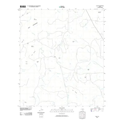
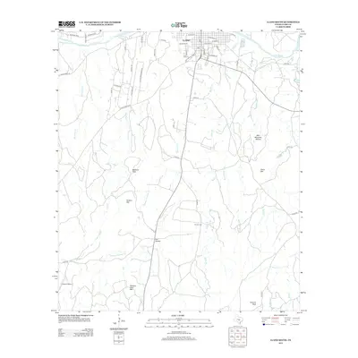
1955 Llano North
Llano County, TX
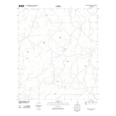
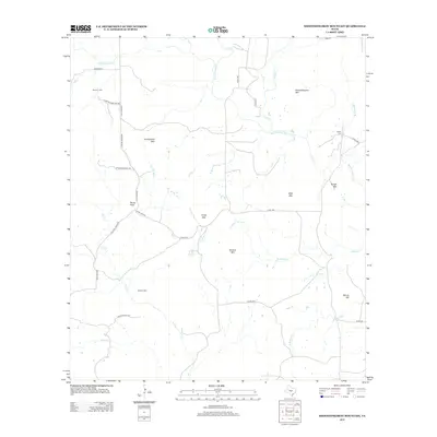
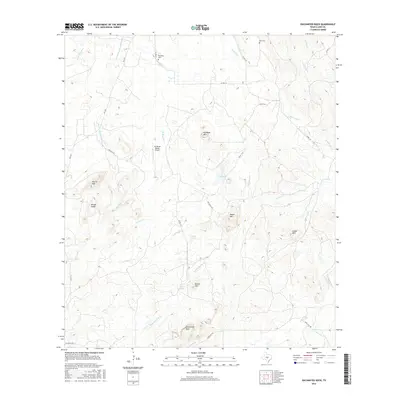
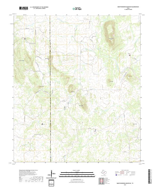
1955 Smoothingiron Mountain
Llano County, TX

1955 Valley Spring
Llano County, TX
1955 Valley Spring
Llano County, TX
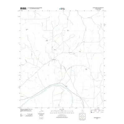
1956 Cherokee
Llano County, TX
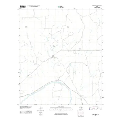
1956 Lone Grove
Llano County, TX
1960 Llano South
Llano County, TX
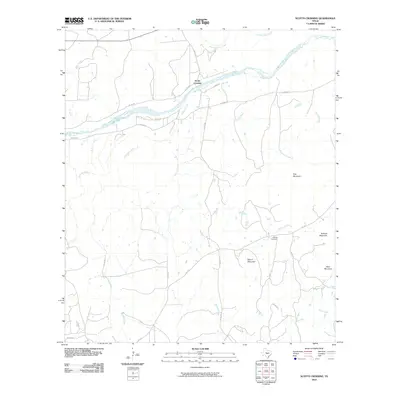
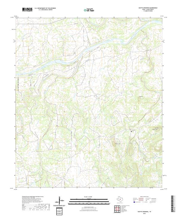
1960 Scotts Crossing
Llano County, TX
1967 Cap Mountain
Llano County, TX
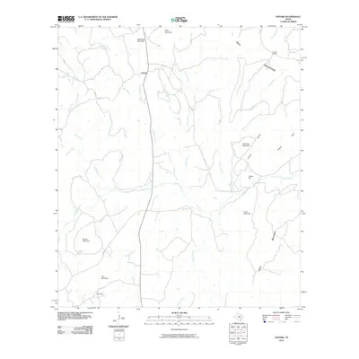
1967 Castell
Llano County, TX
1967 Click
Llano County, TX
1967 Dunman Mountain
Llano County, TX
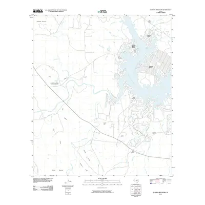
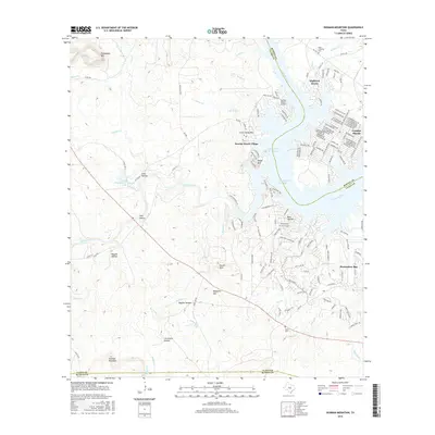
1967 Enchanted Rock
Llano County, TX
1967 House Mountain
Llano County, TX
1967 Lake Buchanan
Llano County, TX
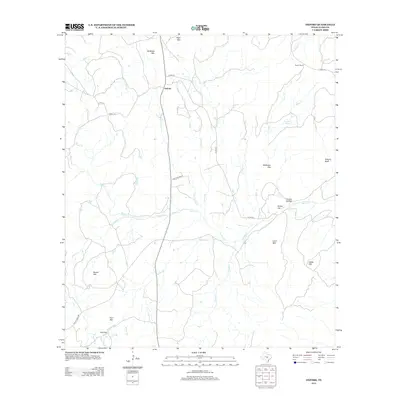
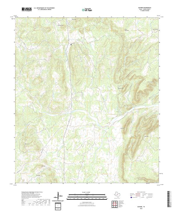
1967 Oxford
Llano County, TX
2010 Cap Mountain
Llano County, TX
2010 Castell
Llano County, TX
2010 Click
Llano County, TX
2010 Dunman Mountain
Llano County, TX
2010 Enchanted Rock
Llano County, TX
2010 House Mountain
Llano County, TX
2010 Lake Buchanan
Llano County, TX
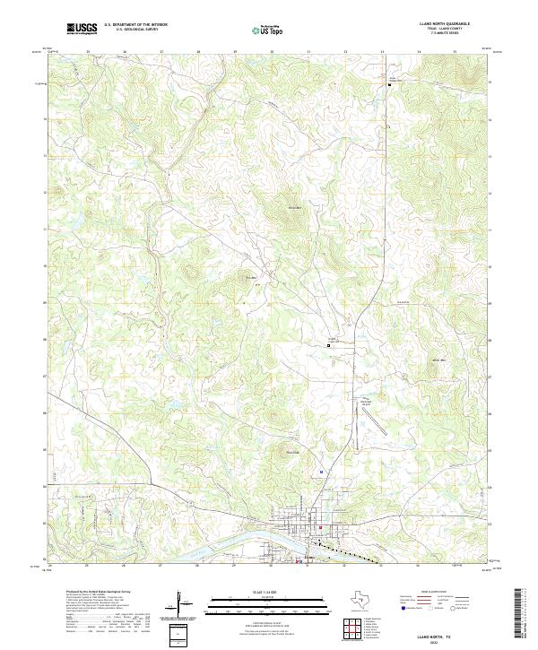
2010 Llano North
Llano County, TX
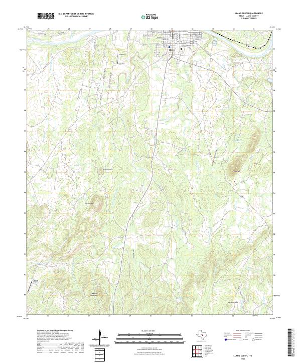
2010 Llano South
Llano County, TX
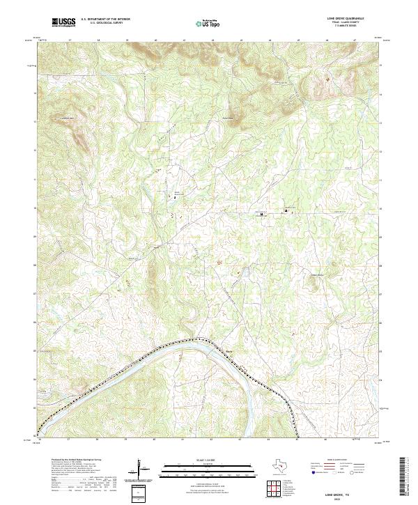
2010 Lone Grove
Llano County, TX
2010 Oxford
Llano County, TX
2010 Scotts Crossing
Llano County, TX
2010 Smoothingiron Mountain
Llano County, TX
2010 Valley Spring
Llano County, TX
2012 Cap Mountain
Llano County, TX
2012 Castell
Llano County, TX
2012 Click
Llano County, TX
2012 Dunman Mountain
Llano County, TX
2012 Enchanted Rock
Llano County, TX
2012 House Mountain
Llano County, TX
2012 Lake Buchanan
Llano County, TX
2012 Llano North
Llano County, TX
2012 Llano South
Llano County, TX
2012 Lone Grove
Llano County, TX
2012 Oxford
Llano County, TX
2012 Scotts Crossing
Llano County, TX
2012 Smoothingiron Mountain
Llano County, TX
2012 Valley Spring
Llano County, TX
2016 Cap Mountain
Llano County, TX
2016 Castell
Llano County, TX
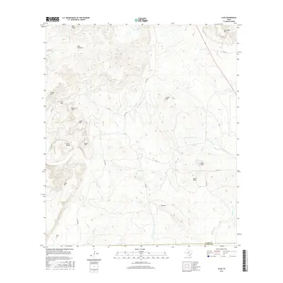
2016 Click
Llano County, TX
2016 Dunman Mountain
Llano County, TX
2016 Enchanted Rock
Llano County, TX
2016 House Mountain
Llano County, TX
2016 Lake Buchanan
Llano County, TX
2016 Llano North
Llano County, TX
2016 Llano South
Llano County, TX
2016 Lone Grove
Llano County, TX
2016 Oxford
Llano County, TX
2016 Scotts Crossing
Llano County, TX
2016 Smoothingiron Mountain
Llano County, TX
2016 Valley Spring
Llano County, TX
2019 Cap Mountain
Llano County, TX
2019 Castell
Llano County, TX
2019 Click
Llano County, TX
2019 Dunman Mountain
Llano County, TX
2019 Enchanted Rock
Llano County, TX
2019 House Mountain
Llano County, TX
2019 Lake Buchanan
Llano County, TX
2019 Llano North
Llano County, TX
2019 Llano South
Llano County, TX
2019 Lone Grove
Llano County, TX
2019 Oxford
Llano County, TX
2019 Scotts Crossing
Llano County, TX
2019 Smoothingiron Mountain
Llano County, TX
2019 Valley Spring
Llano County, TX
2022 Cap Mountain
Llano County, TX
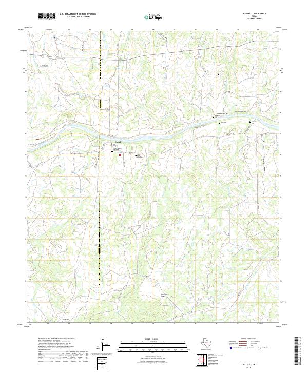
2022 Castell
Llano County, TX
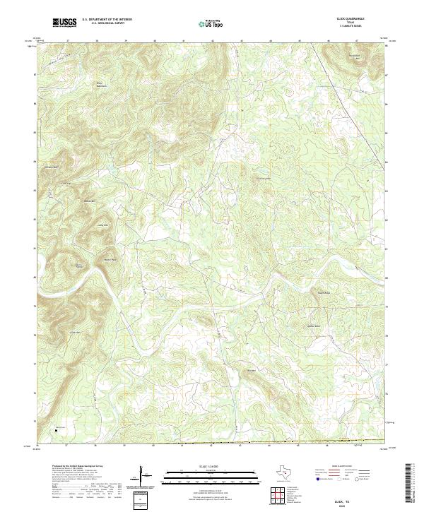
2022 Click
Llano County, TX
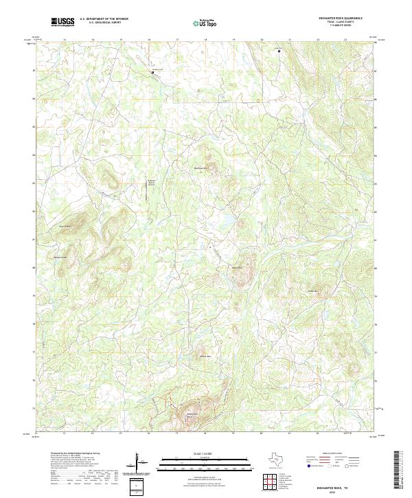
2022 Enchanted Rock
Llano County, TX
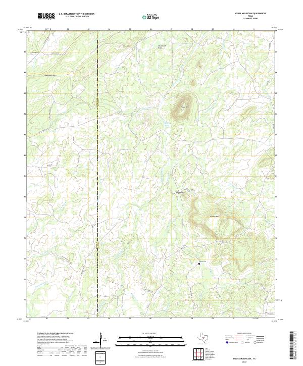
2022 House Mountain
Llano County, TX
2022 Lake Buchanan
Llano County, TX
2022 Llano North
Llano County, TX
2022 Llano South
Llano County, TX
2022 Lone Grove
Llano County, TX
2022 Oxford
Llano County, TX
2022 Scotts Crossing
Llano County, TX
2022 Smoothingiron Mountain
Llano County, TX
2022 Valley Spring
Llano County, TX
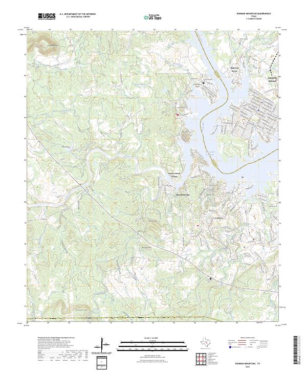
2023 Dunman Mountain
Llano County, TX