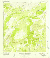
1955 Map of Magill Mountain
USGS Topo · Published 1956About this map
Shin Oak Mountain and the surrounding high ground of the Texas Hill Country dominate this mid-century topographical study of the boundary between San Saba and Llano counties. The landscape is defined by its drainage network, particularly the North Fork Cherokee Creek and the main channel of Cherokee Creek, which carve through the terrain south of Potter Flats. This era of land use is marked by a proliferation of windmills across the ranch land, indicating a reliance on groundwater for livestock in this semi-arid region. To the east, Cedar Hollow leads toward Magill Mountain, while local history is anchored by the Gray Cemetery near the northeastern corner. The map captures a transition between the open heights and the intricate creek systems like Pecan Creek and Hickory Creek, reflecting a quiet period of rural ranching development before significant modern expansion.
Find a feature on this map
20 named features on this map. Tap any name to fly to it.
Don’t see what you’re looking for? This feature index may not catch every label — zoom into the map to look around manually.
Map Details
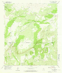
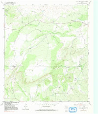
Editions of this 1955 Magill Mountain Map
3 editions found
Other maps of this area

1885 · San Saba
USGS Topo · 1:125,000

1887 · Llano
USGS Topo · 1:125,000

1894 · San Saba
USGS Topo · 1:125,000

1894 · Llano
USGS Topo · 1:125,000

1904 · Llano
USGS Topo · 1:125,000

1909 · Llano
USGS Topo · 1:125,000

1918 · Llano
USGS Topo · 1:125,000

1931 · Bend
USGS Topo · 1:62,500

1954 · Brownwood
USGS Topo · 1:250,000

1954 · Llano
USGS Topo · 1:250,000