
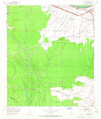
1953 Map of Lobdell
USGS Topo · Published 1954About this map
Agricultural and industrial land use intersect along the alluvial plains of West Baton Rouge Parish in the early 1950s. The landscape is defined by its complex water network, dominated by the winding course of Choctaw Bayou and the engineered Basin Drainage Canal. Small settlements like Lobdell and Allendale are situated along the Missouri Pacific and Texas and Pacific railroad lines, which served as vital corridors for transporting sugar cane and oil from the nearby Port Allen Oil Field. Several rural institutions anchor these communities, including the Christ Ch Cem and Little Rock Ch, providing essential reference points for genealogists tracing family roots in this corner of the Mississippi Delta. The transition between the wet bayous, such as Grand Bayou, and the industrial rail hubs reflects the mid-century economy of the region.
Find a feature on this map
33 named features on this map. Tap any name to fly to it.
Don’t see what you’re looking for? This feature index may not catch every label — zoom into the map to look around manually.
Map Details
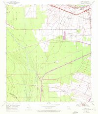
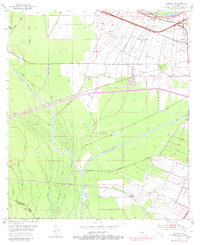
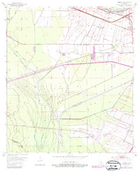
Editions of this 1953 Lobdell Map
5 editions found
Other maps of this area

1906 · Bayou Sara
USGS Topo · 1:125,000

1908 · Baton Rouge
USGS Topo · 1:62,500

1939 · Zachary
USGS Topo · 1:62,500

1939 · Baton Rouge
USGS Topo · 1:62,500

1940 · Grosse Tete
USGS Topo · 1:62,500

1953 · Baton Rouge West
USGS Topo · 1:24,000

1953 · Plaquemine
USGS Topo · 1:24,000

1953 · Addis
USGS Topo · 1:24,000

1953 · Grosse Tete SW
USGS Topo · 1:24,000

1954 · Walls
USGS Topo · 1:24,000