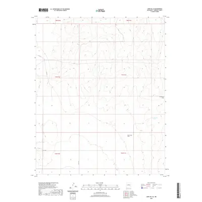
2020 Map of Lobo Hill SE
USGS Topo · Published 2020About this map
McGillivray Draw defines the central drainage of this high-desert landscape in Torrance County, where the terrain transitions across several township and range boundaries. The area is characterized by sparse water resources, specifically noted at the West Douglas Tanks in the eastern section of the quadrangle. This map reflects the vast, open land use of central New Mexico, where infrastructure is limited to a handful of local routes such as Co Rd A131, Co Rd A128, and Co Rd A049. These county roads provide the primary access through the grid-like sections of t7n r10e and surrounding ranges, marking a region where topography and limited water sources dictate the placement of ranches and local movement.
Find a feature on this map
11 named features on this map. Tap any name to fly to it.
Don’t see what you’re looking for? This feature index may not catch every label — zoom into the map to look around manually.
Map Details
Editions of this 2020 Lobo Hill SE Map
This is the sole edition of this map. No revisions or reprints were ever made.
Other maps of this area

1954 · Fort Sumner
USGS Topo · 1:250,000

1958 · Fort Sumner
USGS Topo · 1:250,000

1960 · Lobo Hill
USGS Topo · 1:62,500

1978 · Laguna Del Perro North
USGS Topo · 1:24,000

1978 · Pedernal Mountain
USGS Topo · 1:24,000

1978 · Pedernal
USGS Topo · 1:24,000
1978 · Rock Lake
USGS Topo · 1:24,000

1978 · Lucy
USGS Topo · 1:24,000
1984 · Vaughn
USGS Topo · 1:100,000
1990 · Lobo Hill
USGS Topo · 1:24,000