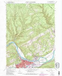
1965 Map of Lock Haven
USGS Topo · Published 1986About this map
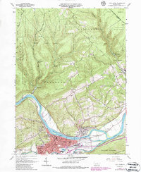
The West Branch Susquehanna River defines the geography of this mid-century Clinton County landscape, where the waters converge near Great Island. The industrial and residential core of Lock Haven and neighboring Flemington are detailed alongside essential infrastructure like the Piper Memorial Airport and the Conrail line. North of the river, the terrain rises sharply toward Woodward Mountain and the expansive reaches of the Sproul State Forest and Tiadaghton State Forest.
Find a feature on this map
73 named features on this map. Tap any name to fly to it.
Don’t see what you’re looking for? This feature index may not catch every label — zoom into the map to look around manually.
Map Details
Editions of this 1965 Lock Haven Map
5 editions found
Other maps of this area

1921 · Howard
USGS Topo · 1:48,000

1921 · Lock Haven
USGS Topo · 1:62,500

1923 · Howard
USGS Topo · 1:62,500

1923 · Lock Haven
USGS Topo · 1:62,500

1935 · Waterville
USGS Topo · 1:24,000

1937 · Waterville
USGS Topo · 1:48,000

1943 · Hyner
USGS Topo · 1:62,500

1943 · Waterville
USGS Topo · 1:62,500

1944 · Lock Haven
USGS Topo · 1:62,500

1946 · Renovo East
USGS Topo · 1:62,500