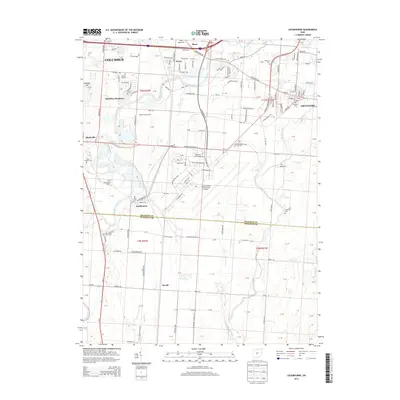
2013 Map of Lockbourne
USGS Topo · Published 2013About this map
Rickenbacker International Airport anchors this landscape south of Columbus, where the urban expansion of Obetz and Groveport meets the agricultural plains of the Franklin and Pickaway County line. The terrain is defined by the converging courses of Alum Creek, Big Walnut Creek, and Walnut Creek, which carve through the till plains toward the Scioto River. Smaller settlements like Lockbourne, Reese, and Duvall maintain their distinct footprints amidst a network of modern infrastructure including Rickenbacker Pkwy E and the I-270 corridor. For genealogists, the map preserves several rural burial grounds such as Watkins Cem, Rarey Cem, and Hopewell Cem, which mark the earlier homesteads and family farms that preceded the industrial and aviation development of the late 20th century.
Find a feature on this map
63 named features on this map. Tap any name to fly to it.
Don’t see what you’re looking for? This feature index may not catch every label — zoom into the map to look around manually.
Map Details
Editions of this 2013 Lockbourne Map
This is the sole edition of this map. No revisions or reprints were ever made.
Other maps of this area

1911 · Era
USGS Topo · 1:62,500

1913 · Era
USGS Topo · 1:62,500

1914 · Circleville
USGS Topo · 1:62,500

1923 · West Columbus
USGS Topo · 1:62,500

1925 · East Columbus
USGS Topo · 1:62,500

1925 · West Columbus
USGS Topo · 1:62,500

1943 · Era
USGS Topo · 1:62,500

1943 · Circleville
USGS Topo · 1:62,500

1943 · East Columbus
USGS Topo · 1:62,500

1947 · Columbus
USGS Topo · 1:250,000