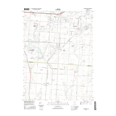
2016 Map of Lockbourne
USGS Topo · Published 2016About this map
Big Walnut Creek and Walnut Creek define the drainage of this central Ohio corridor, where the sprawling operations of Rickenbacker International Airport dominate the central landscape. The 2016 survey documents the urban-rural interface south of Columbus, showing the established neighborhoods of Obetz and Hamilton Meadows alongside the more traditional street grids of Groveport and Lockbourne. A significant number of family and community burial grounds, such as the Paul Peters Farm Cem and Rarey Cem, are preserved among the shifting land uses. The southern portion of the map transitions into Pickaway County at the settlement of Duvall, where the terrain flattens out towards the Scioto River. This geography highlights the transition from metropolitan expansion to the structured agricultural fields of the Scioto Valley, anchored by watercourses like Mud Run and Slate Run.
Find a feature on this map
129 named features on this map. Tap any name to fly to it.
Don’t see what you’re looking for? This feature index may not catch every label — zoom into the map to look around manually.
Map Details
Editions of this 2016 Lockbourne Map
This is the sole edition of this map. No revisions or reprints were ever made.
Other maps of this area

1911 · Era
USGS Topo · 1:62,500

1913 · Era
USGS Topo · 1:62,500

1914 · Circleville
USGS Topo · 1:62,500

1923 · West Columbus
USGS Topo · 1:62,500

1925 · East Columbus
USGS Topo · 1:62,500

1925 · West Columbus
USGS Topo · 1:62,500

1943 · Era
USGS Topo · 1:62,500

1943 · Circleville
USGS Topo · 1:62,500

1943 · East Columbus
USGS Topo · 1:62,500

1947 · Columbus
USGS Topo · 1:250,000