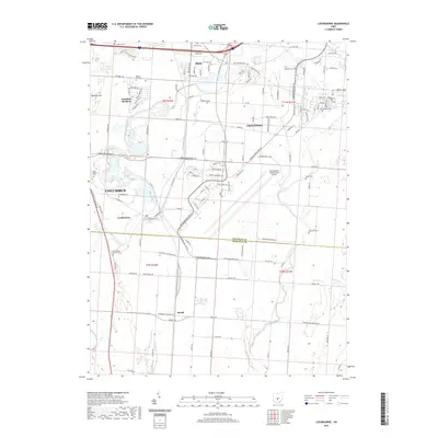
2019 Map of Lockbourne
USGS Topo · Published 2019About this map
Rickenbacker International Airport anchors this portion of south-central Ohio, showing the complex interaction between industrial expansion and established local communities like Groveport, Obetz, and Lockbourne. The landscape is defined by the winding course of Big Walnut Creek and Walnut Creek, which divide the terrain into distinct residential and commercial zones. In the northwest, the suburban developments of Hamilton Meadows sit near several historical burial sites, including Walnut Hill Cem and Obetz Cem.
Find a feature on this map
131 named features on this map. Tap any name to fly to it.
Don’t see what you’re looking for? This feature index may not catch every label — zoom into the map to look around manually.
Map Details
Editions of this 2019 Lockbourne Map
This is the sole edition of this map. No revisions or reprints were ever made.
Other maps of this area

1911 · Era
USGS Topo · 1:62,500

1913 · Era
USGS Topo · 1:62,500

1914 · Circleville
USGS Topo · 1:62,500

1923 · West Columbus
USGS Topo · 1:62,500

1925 · East Columbus
USGS Topo · 1:62,500

1925 · West Columbus
USGS Topo · 1:62,500

1943 · Era
USGS Topo · 1:62,500

1943 · Circleville
USGS Topo · 1:62,500

1943 · East Columbus
USGS Topo · 1:62,500

1947 · Columbus
USGS Topo · 1:250,000