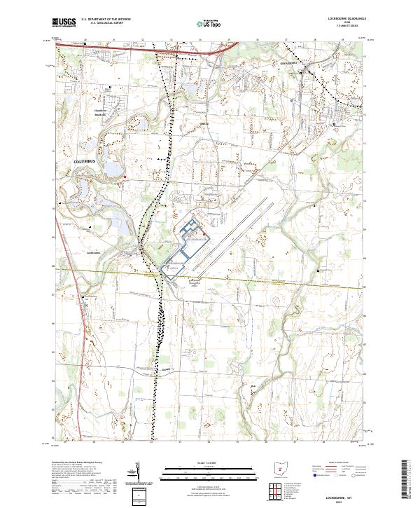
2023 Map of Lockbourne
USGS Topo · Published 2023About this map
Rickenbacker International Airport dominates the southern reaches of this landscape, its runways and access roads cutting a sharp industrial profile across the Franklin and Pickaway county line. The surrounding territory reflects the expansion of the Columbus metropolitan area, where established neighborhoods like Hamilton Meadows and the incorporated villages of Obetz and Groveport meet the older agricultural footprint.
Find a feature on this map
139 named features on this map. Tap any name to fly to it.
Don’t see what you’re looking for? This feature index may not catch every label — zoom into the map to look around manually.
Map Details
Editions of this 2023 Lockbourne Map
This is the sole edition of this map. No revisions or reprints were ever made.
Other maps of this area

1911 · Era
USGS Topo · 1:62,500

1913 · Era
USGS Topo · 1:62,500

1914 · Circleville
USGS Topo · 1:62,500

1923 · West Columbus
USGS Topo · 1:62,500

1925 · East Columbus
USGS Topo · 1:62,500

1925 · West Columbus
USGS Topo · 1:62,500

1943 · Era
USGS Topo · 1:62,500

1943 · Circleville
USGS Topo · 1:62,500

1943 · East Columbus
USGS Topo · 1:62,500

1947 · Columbus
USGS Topo · 1:250,000