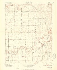
1953 Map of Lockeford
USGS Topo · Published 1954About this map
Agricultural lands and riparian corridors define this mid-century portrait of northern San Joaquin County. The Mokelumne River meanders through the heart of the landscape, its banks reinforced by an extensive Levee system protecting the surrounding fields. The settlement of Lockeford serves as a primary hub, situated near the intersection of the Southern Pacific railroad and Woodbridge Road. To the west, the community of Victor is marked by a prominent winery, reflecting the region’s viticultural importance.
Find a feature on this map
35 named features on this map. Tap any name to fly to it.
Don’t see what you’re looking for? This feature index may not catch every label — zoom into the map to look around manually.
Map Details
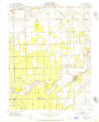
Editions of this 1953 Lockeford Map
2 editions found
Other maps of this area

1894 · Lodi
USGS Topo · 1:125,000

1908 · Waterloo
USGS Topo · 1:31,680

1908 · Linden
USGS Topo · 1:31,680

1908 · Lockeford
USGS Topo · 1:31,680

1909 · Clay
USGS Topo · 1:31,680

1909 · Goose Creek
USGS Topo · 1:31,680

1909 · Clements
USGS Topo · 1:31,680

1910 · Castle
USGS Topo · 1:31,680

1910 · Woodbridge
USGS Topo · 1:31,680

1910 · Galt
USGS Topo · 1:31,680