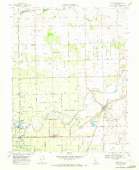
1968 Map of Lockeford
USGS Topo · Published 1972About this map
The Mokelumne River winds through the heart of this agricultural landscape in San Joaquin County, defining the development patterns of the late 1960s. The town of Lockeford serves as a primary hub, situated where the Central Pacific railroad line intersects the river's path. Further west, the community of Victor sits along the Southern Pacific tracks, surrounded by a dense network of vineyards and orchards connected by named thoroughfares like Peltier Rd and Jahant Road.
Find a feature on this map
47 named features on this map. Tap any name to fly to it.
Don’t see what you’re looking for? This feature index may not catch every label — zoom into the map to look around manually.
Map Details
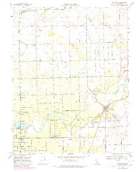
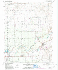
Editions of this 1968 Lockeford Map
3 editions found
Other maps of this area

1894 · Lodi
USGS Topo · 1:125,000

1908 · Waterloo
USGS Topo · 1:31,680

1908 · Linden
USGS Topo · 1:31,680

1908 · Lockeford
USGS Topo · 1:31,680

1909 · Clay
USGS Topo · 1:31,680

1909 · Goose Creek
USGS Topo · 1:31,680

1909 · Clements
USGS Topo · 1:31,680

1910 · Castle
USGS Topo · 1:31,680

1910 · Woodbridge
USGS Topo · 1:31,680

1910 · Galt
USGS Topo · 1:31,680