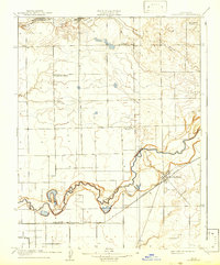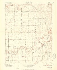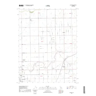
1968 Map of Lockeford
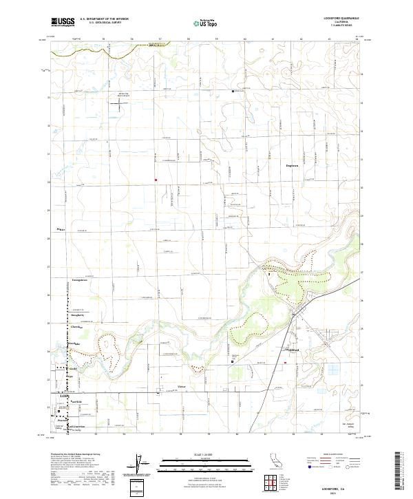
USGS Topo · Published 1993About this map
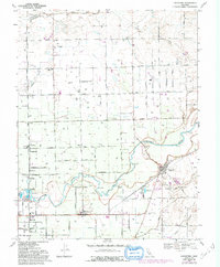
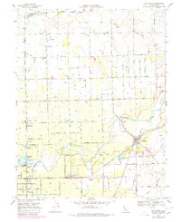
The Mokelumne River winds through this Central Valley landscape, defining the agricultural character of San Joaquin County during the late 1960s. The settlement of Lockeford serves as a local anchor near the riverbanks, while smaller communities like Victor, Peltier, and Youngstown are connected by a dense grid of rural roads and the Central California Traction railroad. This map reveals a community deeply rooted in its local institutions, evidenced by several burial grounds including Locke Cem, Elliott Cem, and the Harmony Grove Cemetery located near the Harmony Grove Church.
Find a feature on this map
66 named features on this map. Tap any name to fly to it.
Don’t see what you’re looking for? This feature index may not catch every label — zoom into the map to look around manually.
Map Details
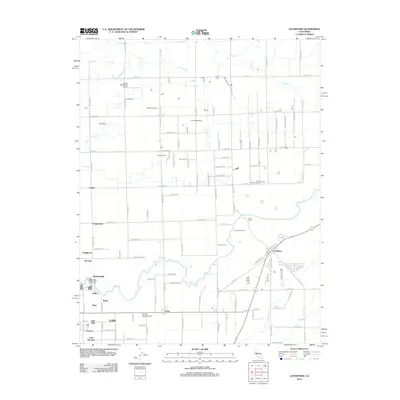
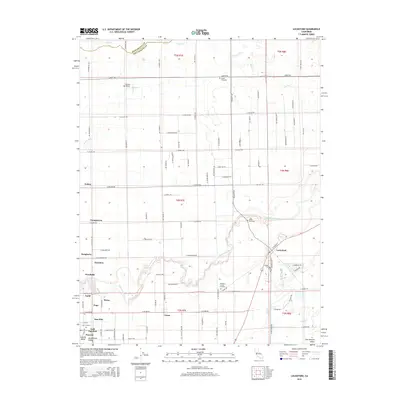
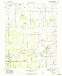
Editions of this 1968 Lockeford Map
3 editions found
Historical Maps of Lodi Through Time
7 maps found