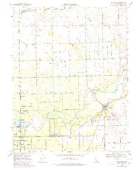
1968 Map of Lockeford
USGS Topo · Published 1980About this map
The Mokelumne River snakes through the center of this agricultural landscape, acting as a geographic anchor for the numerous small settlements and rail lines that defined San Joaquin County in the late 1960s. The town of Lockeford sits at the crossing of the Southern Pacific railroad and Paddy Creek, while further west, the Central California Traction line connects smaller hubs like Youngstown, Cherokee, and Lodi Junction. This survey reveals a dense network of local infrastructure, from the Bruella Sch and Oak View Union Sch to family-named markers like Elliott Cem and Locke Cem. The landscape is also dotted with specialized landmarks including a Pumping Station, numerous gas wells, and the Harmony Grove Cem, reflecting an era of established rural community and growing industrial utility near the Sacramento County and San Joaquin County border.
Find a feature on this map
55 named features on this map. Tap any name to fly to it.
Don’t see what you’re looking for? This feature index may not catch every label — zoom into the map to look around manually.
Map Details
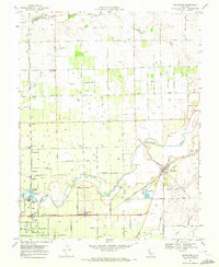
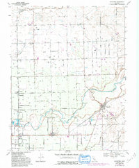
Editions of this 1968 Lockeford Map
3 editions found
Other maps of this area

1894 · Lodi
USGS Topo · 1:125,000

1908 · Waterloo
USGS Topo · 1:31,680

1908 · Linden
USGS Topo · 1:31,680

1908 · Lockeford
USGS Topo · 1:31,680

1909 · Clay
USGS Topo · 1:31,680

1909 · Goose Creek
USGS Topo · 1:31,680

1909 · Clements
USGS Topo · 1:31,680

1910 · Castle
USGS Topo · 1:31,680

1910 · Woodbridge
USGS Topo · 1:31,680

1910 · Galt
USGS Topo · 1:31,680