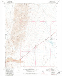
1968 Map of Lockes
USGS Topo · Published 1982About this map
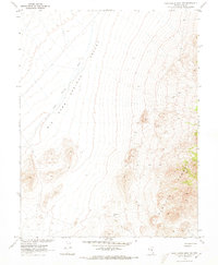
Lockes sits at the base of the Pancake Range, serving as a focal point for water and transit in this arid Nevada landscape. The map reveals a vital network of water sources, including North Spring, Big Spring, Hay Corral Spring, and Reynolds Springs, which likely supported early settlement and ranching efforts in the region. The terrain is dramatically defined by the volcanic features of Lava and the sheer verticality of The Wall, contrasting with the open expanse of Railroad Valley to the east.
Find a feature on this map
15 named features on this map. Tap any name to fly to it.
Don’t see what you’re looking for? This feature index may not catch every label — zoom into the map to look around manually.
Map Details
Editions of this 1968 Lockes Map
2 editions found
Other maps of this area

1956 · Lund
USGS Topo · 1:250,000

1960 · Lund
USGS Topo · 1:250,000

1964 · Blue Eagle Springs
USGS Topo · 1:62,500

1964 · Troy Canyon
USGS Topo · 1:62,500

1968 · Portuguese Mtn
USGS Topo · 1:62,500

1968 · The Wall
USGS Topo · 1:62,500
1968 · Black Rock Summit
USGS Topo · 1:24,000

1968 · Portuguese Mtn
USGS Topo · 1:24,000
1968 · The Wall
USGS Topo · 1:24,000
1968 · Portuguese Mtn NW
USGS Topo · 1:24,000