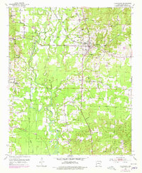
1951 Map of Lockesburg
USGS Topo · Published 1978About this map
The Cossatot River and its intricate network of sloughs, including White Oak Slough and Sandy Slough, dominate the landscape of central Sevier County. This area shows a transition from the river bottomlands to the established settlements around Lockesburg, where the De Queen and Eastern railroad tracks run through the community. The map provides a detailed view of the rural social fabric of the mid-20th century, recording the positions of several country churches such as Mt Carmel Ch, Mt Ida Ch, and Old Bellville Ch. Local landmarks like Russey Lake and smaller hamlets like Melrose and Bellville suggest a dispersed agricultural population supported by the river and rail corridors. Further south, the Paracifta River and Woolsey Creek define the drainage patterns, while the Red Colony roadway serves as a primary local artery.
Find a feature on this map
32 named features on this map. Tap any name to fly to it.
Don’t see what you’re looking for? This feature index may not catch every label — zoom into the map to look around manually.
Map Details
Editions of this 1951 Lockesburg Map
3 editions found
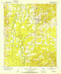
Other maps of this area

1913 · De Queen
USGS Topo · 1:125,000

1950 · Mcalester
USGS Topo · 1:250,000

1950 · Ben Lomond
USGS Topo · 1:24,000

1950 · Falls Chapel
USGS Topo · 1:24,000

1950 · Winthrop
USGS Topo · 1:24,000

1951 · Winthrop
USGS Topo · 1:24,000

1951 · Ben Lomond
USGS Topo · 1:24,000

1951 · Falls Chapel
USGS Topo · 1:24,000

1951 · Horatio
USGS Topo · 1:24,000

1951 · Lockesburg
USGS Topo · 1:24,000