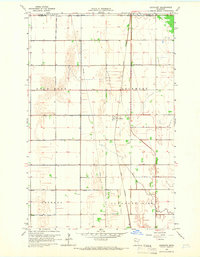
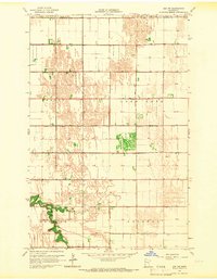
1965 Map of Lockhart
USGS Topo · Published 1966About this map
The settlement of Lockhart stands as the central point of this mid-1960s agricultural survey, where the Great Northern railroad cuts a straight north-south line through the flat prairie. This landscape is defined by an extensive and orderly engineering network of water management, evidenced by the numerous drainage features like Judicial Ditch No 52, County Ditch No 11, and County Ditch No 22 that follow section lines to reclaim the land for farming.
Find a feature on this map
20 named features on this map. Tap any name to fly to it.
Don’t see what you’re looking for? This feature index may not catch every label — zoom into the map to look around manually.
Map Details
Editions of this 1965 Lockhart Map
This is the sole edition of this map. No revisions or reprints were ever made.
Other maps of this area
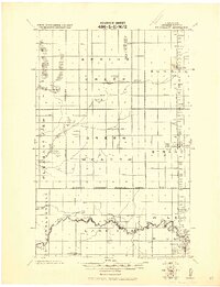
1918 · Twin Valley
USGS Topo · 1:62,500
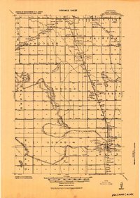
1919 · Beltrami
USGS Topo · 1:62,500
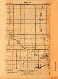
1924 · Ada
USGS Topo · 1:62,500

1952 · Grand Forks
USGS Topo · 1:250,000

1956 · Grand Forks
USGS Topo · 1:250,000
1964 · Beltrami
USGS Topo · 1:24,000
1964 · Beltrami SW
USGS Topo · 1:24,000
1965 · Melvin
USGS Topo · 1:24,000
1965 · Anthony
USGS Topo · 1:24,000
1965 · Ada NW
USGS Topo · 1:24,000