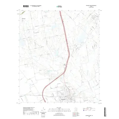
2019 Map of Lockhart North
USGS Topo · Published 2019About this map
Lockhart anchors the southern edge of this landscape where the Town Br meets the larger Plum Cr drainage. The map reveals a transition from the urban street grid of the county seat to the sprawling ranchlands and rural homesteads of northern Caldwell County. Family legacies are etched into the terrain through various sites like Ohlendorf Cem and Polonia Cem, as well as named ranch roads such as Simmons Family Ranch Rd and Rogers Ranch Rd. Significant water management features dominate the central portion of the sheet, including the Soil Conservation Service Site 15 Reservoir and Barth Lake. To the north, the small settlement of Niederwald sits near the Hays County line, connected to the southern districts by the prominent corridor of US Highway 183 and the State Highway 3-A Bridge.
Find a feature on this map
124 named features on this map. Tap any name to fly to it.
Don’t see what you’re looking for? This feature index may not catch every label — zoom into the map to look around manually.
Map Details
Editions of this 2019 Lockhart North Map
This is the sole edition of this map. No revisions or reprints were ever made.
Other maps of this area

1896 · Austin
USGS Topo · 1:125,000

1897 · Austin
USGS Topo · 1:125,000

1910 · Austin
USGS Topo · 1:125,000

1911 · San Marcos
USGS Topo · 1:125,000

1919 · San Marcos
USGS Topo · 1:125,000

1925 · San Marcos 1-d
USGS Topo · 1:48,000

1930 · Lockhart
USGS Topo · 1:62,500

1953 · Seguin
USGS Topo · 1:250,000

1954 · Austin
USGS Topo · 1:250,000

1955 · Montopolis
USGS Topo · 1:62,500