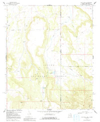
1968 Map of Loco Knoll
USGS Topo · Published 1992About this map
Apache National Forest straddles the high-elevation divide where the Apache and Catron County line separates Arizona from New Mexico. The landscape is defined by the volcanic prominence of Loco Knoll and the adjacent Loco Knolls, which overlook a network of seasonal drainages and livestock improvements. Ranching operations are clearly established in the late 1960s, evidenced by the H-V Ranch and its nearby H-V Reservoir, alongside numerous scattered Water Tanks and Corrals.
Find a feature on this map
19 named features on this map. Tap any name to fly to it.
Don’t see what you’re looking for? This feature index may not catch every label — zoom into the map to look around manually.
Map Details
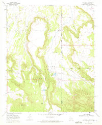
Editions of this 1968 Loco Knoll Map
2 editions found
Other maps of this area

1886 · St Johns
USGS Topo · 1:250,000

1892 · St Johns
USGS Topo · 1:250,000

1915 · Reserve
USGS Topo · 1:125,000

1918 · Reserve
USGS Topo · 1:125,000

1922 · Nutrioso
USGS Topo · 1:125,000

1954 · Clifton
USGS Topo · 1:250,000

1954 · Saint Johns
USGS Topo · 1:250,000

1957 · Clifton
USGS Topo · 1:250,000

1957 · Saint Johns
USGS Topo · 1:250,000

1958 · Clifton
USGS Topo · 1:250,000