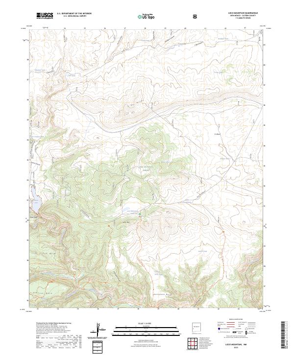
2023 Map of Loco Mountain
USGS Topo · Published 2023About this map
Gila National Forest and the protected Gila Wilderness dominate this high-altitude landscape in Catron County. The terrain is defined by a series of mesas and ridges, most notably Loco Mtn and Aeroplane Mesa, which separate deep drainages such as Pitchfork Canyon and Hay Canyon. Water management is central to the area's geography, evidenced by numerous named tanks like Elladene Tank and Doubtful Tank scattered across the high ground to support livestock or wildlife. Snow Lake serves as a prominent water feature near Gilita Ridge, where the headwaters of the Middle Fork Gilita River begin their descent. A network of primitive trails, including the Aeroplane Mesa Trl and Moonshine Canyon Trl, provides the only access into the more secluded wilderness areas south of Loco Mountain Rd.
Find a feature on this map
55 named features on this map. Tap any name to fly to it.
Don’t see what you’re looking for? This feature index may not catch every label — zoom into the map to look around manually.
Map Details
Editions of this 2023 Loco Mountain Map
This is the sole edition of this map. No revisions or reprints were ever made.
Other maps of this area

1910 · Mogollon
USGS Topo · 1:125,000

1911 · Alum Mountain
USGS Topo · 1:125,000

1912 · Mogollon
USGS Topo · 1:125,000

1913 · Alum Mountain
USGS Topo · 1:125,000

1915 · Reserve
USGS Topo · 1:125,000

1918 · Pelona
USGS Topo · 1:125,000

1918 · Reserve
USGS Topo · 1:125,000

1954 · Clifton
USGS Topo · 1:250,000

1957 · Clifton
USGS Topo · 1:250,000

1958 · Clifton
USGS Topo · 1:250,000