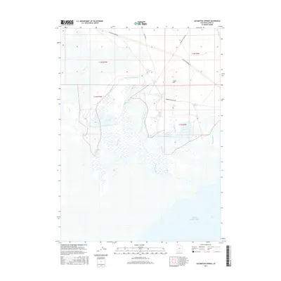
2017 Map of Locomotive Springs
USGS Topo · Published 2017About this map
Great Salt Lake dominates the southern reaches of this landscape, where the waters of Spring Bay meet a complex network of wetlands and springs. The northern terrain is defined by the historic transportation corridor of Old Railroad Grade Rd, which traces the former path of the First Transcontinental Railroad across the salt flats. This area, known for its namesake Locomotive Springs, serves as a critical hydrologic interface where fresh water emerges from the base of highlands like Indian Hill.
Find a feature on this map
28 named features on this map. Tap any name to fly to it.
Don’t see what you’re looking for? This feature index may not catch every label — zoom into the map to look around manually.
Map Details
Editions of this 2017 Locomotive Springs Map
This is the sole edition of this map. No revisions or reprints were ever made.
Other maps of this area

1954 · Brigham City
USGS Topo · 1:250,000

1958 · Brigham City
USGS Topo · 1:250,000

1959 · Kelton Pass
USGS Topo · 1:62,500

1962 · Brigham City
USGS Topo · 1:250,000

1968 · Monument Point
USGS Topo · 1:24,000

1968 · Coyote Point
USGS Topo · 1:24,000

1968 · Monument Peak SW
USGS Topo · 1:24,000

1968 · Monument Peak
USGS Topo · 1:24,000

1969 · Spring Bay SW
USGS Topo · 1:24,000

1969 · Locomotive Springs
USGS Topo · 1:24,000