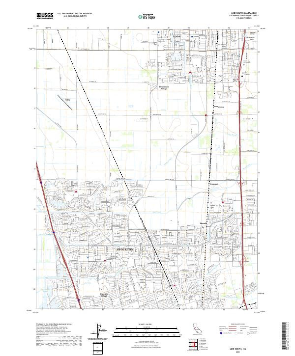
2021 Map of Lodi South
USGS Topo · Published 2021About this map
Stockton and Lodi anchor the northern and southern extents of this landscape within the fertile San Joaquin Valley. The map reveals a complex network of waterways that have historically defined the region's geography, including the meandering Pixley Slough, Bear Creek, and the vital Mokelumne Aqueduct which cuts across the southern portion. This 2021 update illustrates the modern suburban expansion of northern Stockton, particularly around Lincoln Village, where dense residential street grids meet the educational campuses of Humphreys College - Stockton and Heald College - Stockton.
Find a feature on this map
43 named features on this map. Tap any name to fly to it.
Don’t see what you’re looking for? This feature index may not catch every label — zoom into the map to look around manually.
Map Details
Editions of this 2021 Lodi South Map
This is the sole edition of this map. No revisions or reprints were ever made.
Other maps of this area

1894 · Lodi
USGS Topo · 1:125,000

1908 · Waterloo
USGS Topo · 1:31,680

1908 · Lockeford
USGS Topo · 1:31,680

1910 · New Hope
USGS Topo · 1:31,680

1910 · Castle
USGS Topo · 1:31,680

1910 · Woodbridge
USGS Topo · 1:31,680

1910 · Headreach
USGS Topo · 1:31,680

1913 · Stockton
USGS Topo · 1:31,680

1913 · Holt
USGS Topo · 1:31,680

1914 · Burnham
USGS Topo · 1:31,680