
1973 Map of Log Mountain
USGS Topo · Published 1976About this map
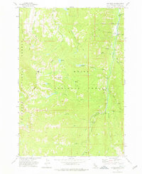
Johnson Creek serves as a central waterway in this 1970s survey of the Idaho interior, where the Boise National Forest and Payette National Forest meet. The map reveals a landscape defined by high peaks like Log Mountain and Shell Rock Peak, with drainage systems flowing through Caton Creek and its associated Caton Ditch. These water systems supported early activity at locations such as Cox Ranch and the remote Wardenhoff Meadows.
Find a feature on this map
36 named features on this map. Tap any name to fly to it.
Don’t see what you’re looking for? This feature index may not catch every label — zoom into the map to look around manually.
Map Details
Editions of this 1973 Log Mountain Map
2 editions found
Other maps of this area

1937 · Yellow Pine
USGS Topo · 1:48,000

1943 · Yellow Pine
USGS Topo · 1:62,500

1954 · Warm Lake
USGS Topo · 1:62,500

1957 · Challis
USGS Topo · 1:250,000

1960 · Challis
USGS Topo · 1:250,000

1961 · Chinook Mtn
USGS Topo · 1:62,500

1963 · Challis
USGS Topo · 1:250,000
1973 · Chilcoot Peak
USGS Topo · 1:24,000
1973 · Yellow Pine
USGS Topo · 1:24,000

1973 · White Rock Peak
USGS Topo · 1:24,000