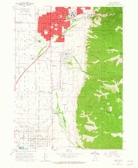
1961 Map of Logan
USGS Topo · Published 1965About this map
Utah State University dominates the northeastern landscape of this Cache Valley survey, situated just above the residential blocks of Logan. The city's core is anchored by the historic Logan Temple and the Tabernacle, while its industrial and agricultural roots are evidenced by the Molasses Sugar Factory and various Gravel Pit sites along the bench. To the south, a string of smaller settlements including River Heights, Providence, Millville, Nibley, and Hyrum follow the natural irrigation paths provided by the Logan River and the complex network of the Logan Canal and Hyrum Canal.
Find a feature on this map
55 named features on this map. Tap any name to fly to it.
Don’t see what you’re looking for? This feature index may not catch every label — zoom into the map to look around manually.
Map Details
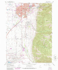
Editions of this 1961 Logan Map
3 editions found
Other maps of this area

1914 · Logan
USGS Topo · 1:125,000

1916 · Logan
USGS Topo · 1:125,000

1954 · Ogden
USGS Topo · 1:250,000

1955 · Paradise
USGS Topo · 1:24,000

1955 · Mount Pisgah
USGS Topo · 1:24,000

1958 · Ogden
USGS Topo · 1:250,000

1960 · Ogden
USGS Topo · 1:250,000

1961 · Logan
USGS Topo · 1:24,000
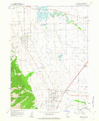
1962 · Wellsville
USGS Topo · 1:24,000
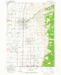
1964 · Smithfield
USGS Topo · 1:24,000